by Coastal Resilience | Oct 7, 2016
Managing coasts with natural solutions: Guidelines for measuring and valuing the coastal protection services of mangroves and coral reefs seeks to address this evidence gap and to reorient the cost-benefit analysis between built or “gray infrastructure,” and “green infrastructure” based on environmental processes.
This app is being used across the U.S. in Connecticut, Southeast Florida, the Gulf of Mexico, New Jersey, and New York.
Download

by Coastal Resilience | Oct 6, 2016
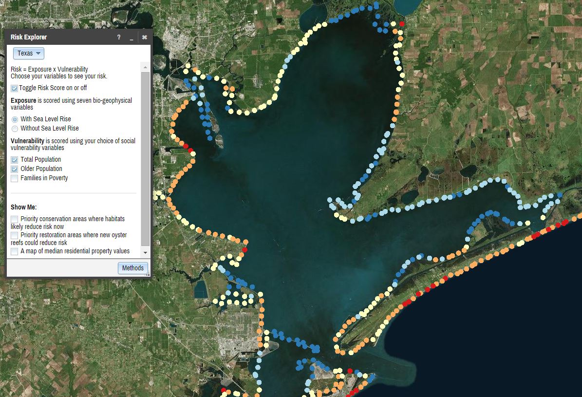
The Risk Explorer is organized by state and permits users to easily visualize coastal hazards exposure, social vulnerability and overall risk.
This app is being used across the U.S. in Connecticut, Southeast Florida, The Gulf of Mexico, New Jersey, New York.
Read More.

by Coastal Resilience | Oct 6, 2016
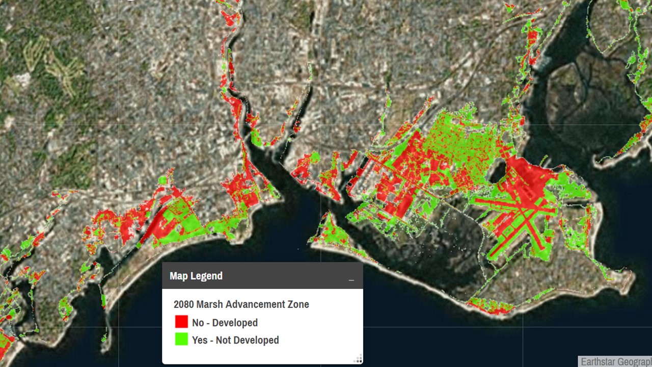
The Future Habitat app categorizes various tidal marsh advancement scenarios from spatial model outputs to inform users of the combined impacts of sea level change, physical barriers to wetland movement, and rates of land accretion or sediment accumulation.
This app is being used in California, Connecticut, Southeast Florida, Gulf of Mexico, New Jersey, Maine, New York, and Virginia
Read More.

by Coastal Resilience | Oct 6, 2016
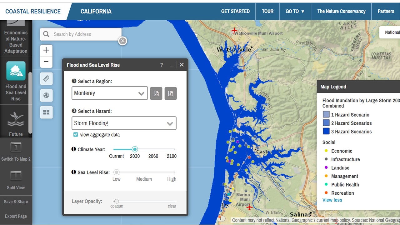
Flooding is increasing along the coast and certain rivers. Use this app to view areas affected today and in the future due to increased sea level rise, surge from storms and hurricanes, and inland flooding.
This app is being used in all Coastal Resilience geographies.
Read More.

by Coastal Resilience | Oct 6, 2016
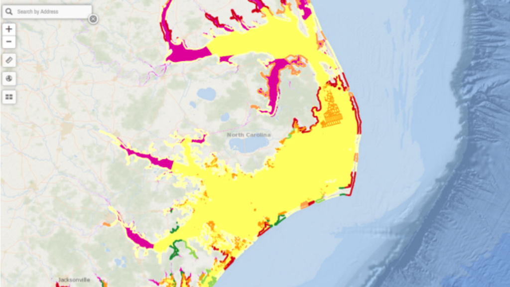
The Community Planning app is the location where resilient communities host their locally specific data to inform their decisions and track their successes. Users can view local information alongside with other Coastal Resilience data layers which helps support community-level engagement processes.
This app is being used in all Coastal Resilience geographies in the U.S.
Read More.


