by Coastal Resilience | Nov 2, 2016
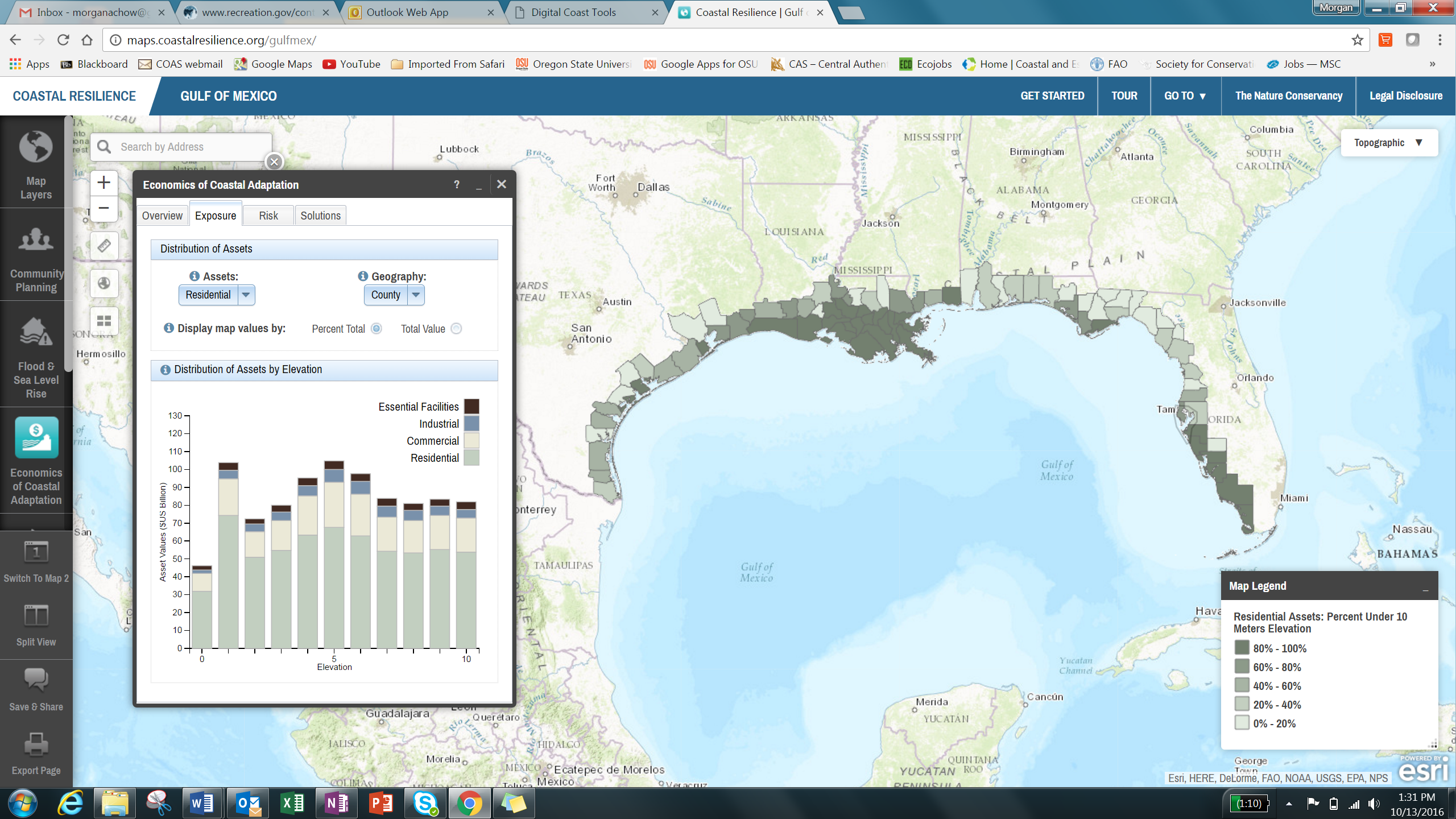
The Economics of Coastal Adaptation app allows users to explore current and future risks from coastal hazards and to compare the cost-effectiveness of nature-based (green), artificial (gray), and policy solutions to reduce risks and avert damages.
This app is being used in Gulf of Mexico Read More.
by Coastal Resilience | Nov 2, 2016
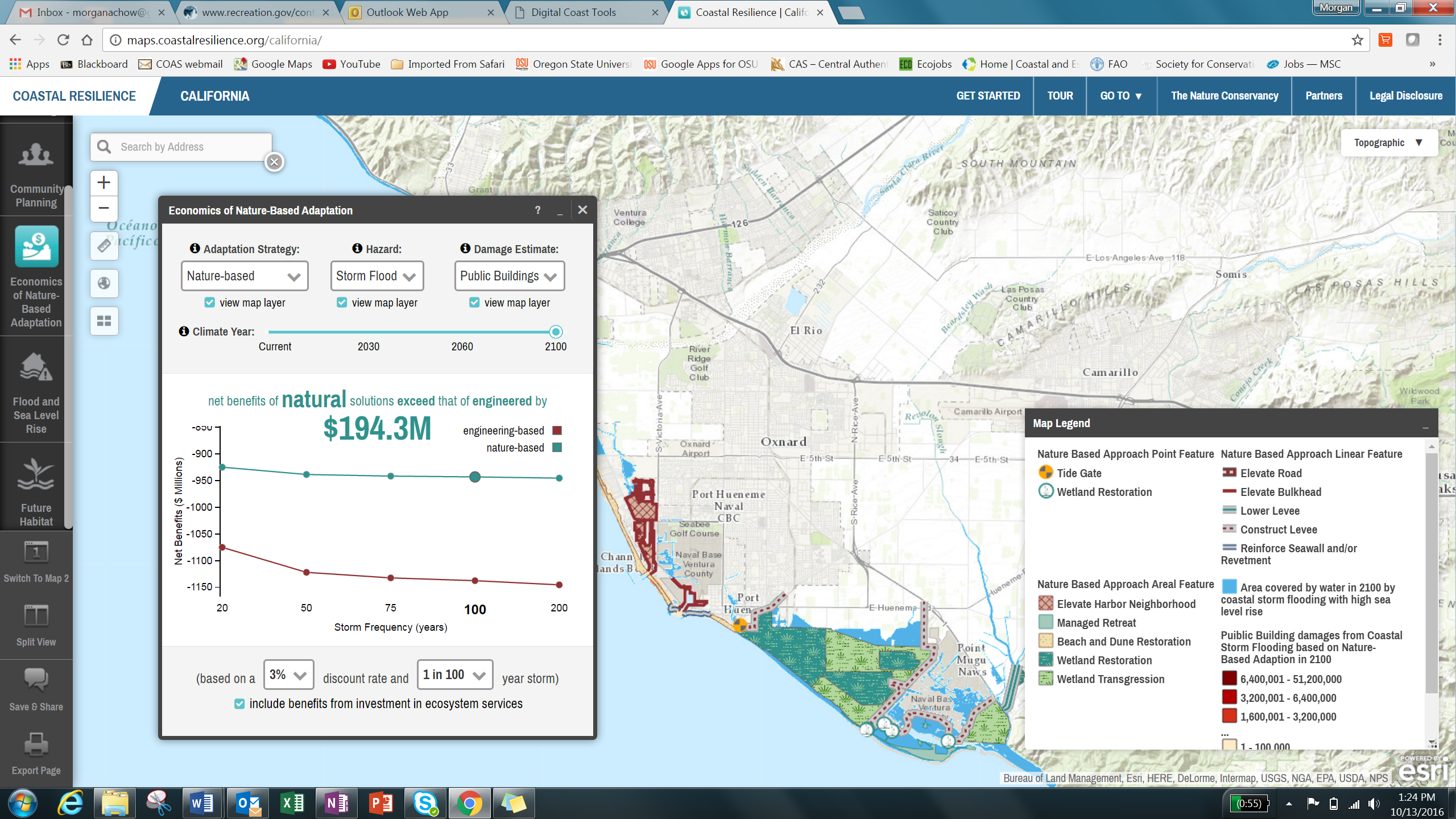
The Economics of Nature-Based Adaptation app allows users to explore current and future risks from coastal hazards and to compare the cost-effectiveness of nature-based (green) and engineered (grey) solutions to reduce risks and avert damages in coastal areas.
This app is being used in California.
by Coastal Resilience | Nov 2, 2016
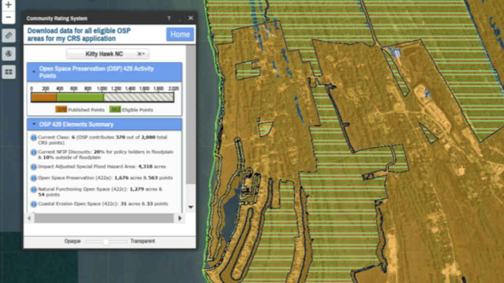
The Community Rating System Explorer helps planners identify areas that are eligible for Open Space Preservation (OSP) credits in FEMA’s Community Rating System (CRS), a voluntary program that encourages improved floodplain management through discounted flood insurance premiums, and provides exportable information to support the application process.
This app is being used in Gulf of Mexico and North Carolina.
Read More.
by Coastal Resilience | Nov 2, 2016
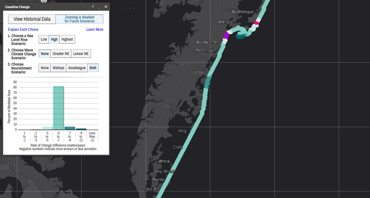
The Coastline Change: Future Scenarios app allows users to explore how climate change combined with management actions over a 50-year time frame may affect the rates of shoreline change along a simulated Virginia barrier island system.
This app is being used in Virginia.
Read More.
by Coastal Resilience | Oct 6, 2016
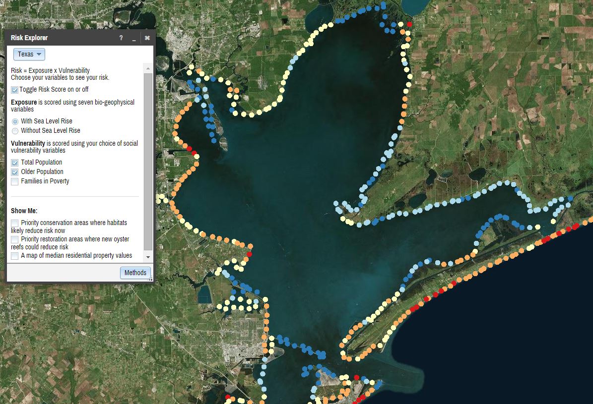
The Risk Explorer is organized by state and permits users to easily visualize coastal hazards exposure, social vulnerability and overall risk.
This app is being used across the U.S. in Connecticut, Southeast Florida, The Gulf of Mexico, New Jersey, New York.
Read More.


