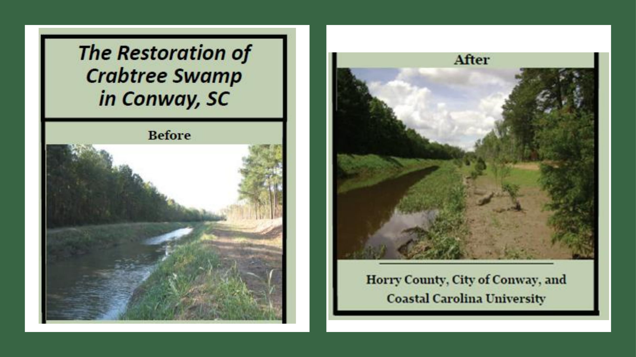
Horry County Focus Group
Goal: Utilize local knowledge and expertise to identify flood prone areas around the rivers in Horry
County.
Outcome: Prioritized list of focus areas and nature based projects to reduce flood potential.

Goal: Utilize local knowledge and expertise to identify flood prone areas around the rivers in Horry
County.
Outcome: Prioritized list of focus areas and nature based projects to reduce flood potential.
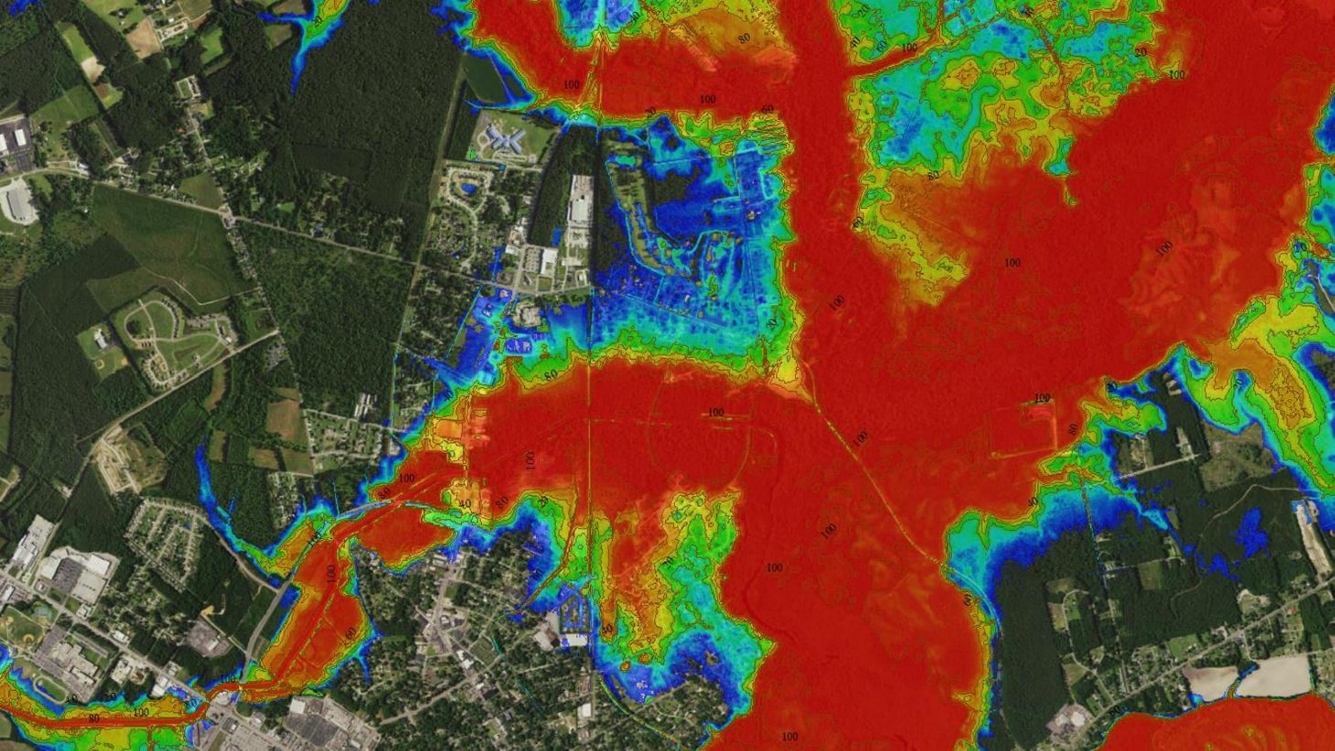
Geoscience Consultants has developed custom Hindcasted Flooding, Risk, and Land Cover maps and information for The Nature Conservancy to support an ongoing project in Horry and Georgetown Counties.
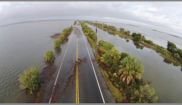
The Georgia Chapter of TNC help to identify the states top climate research questions through a state-wide collaborative effort called the Georgia Climate Research Roadmap.

The New Jersey Chapter of TNC rolled out a new mapping tool to help practitioners and local stakeholders explore the potential need for restoration among Atlantic coast back-bay salt marshes.
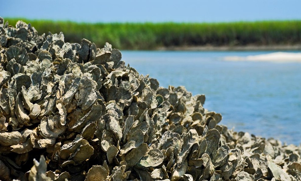
To protect North Carolina’s coast by ensuring thriving ecosystems and economies, our TNC scientists have been working with university partners to evaluate oyster habitat for restoration potential.
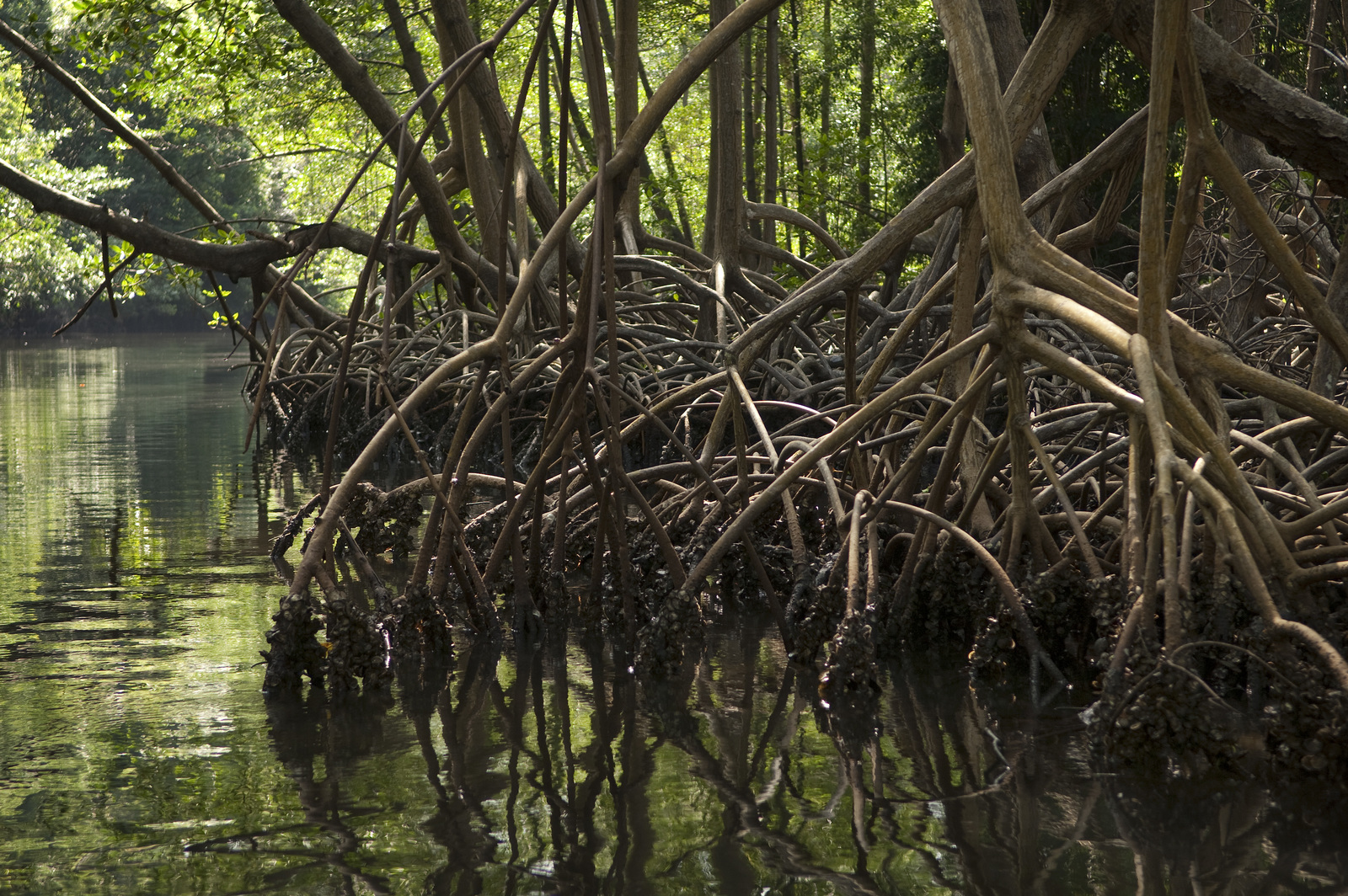
TNC scientists and partners at the University of Cantabria have produced a ranking of countries that receive the greatest risk reduction benefits from mangroves, relative to their vulnerability.