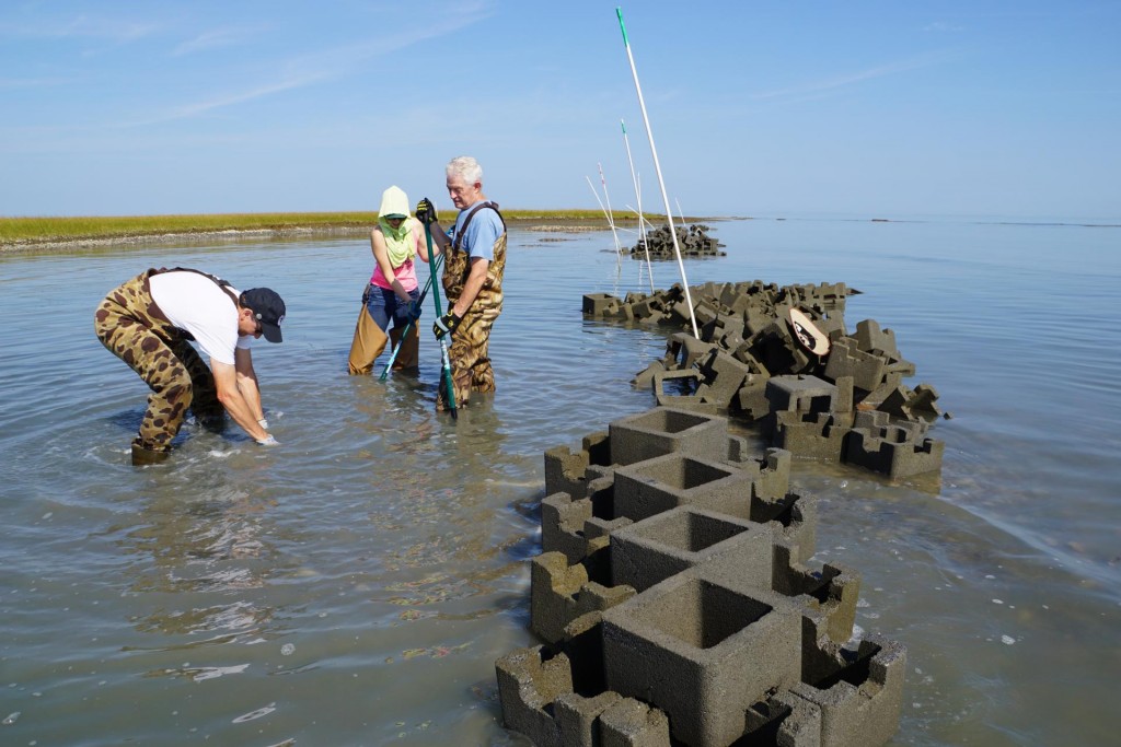

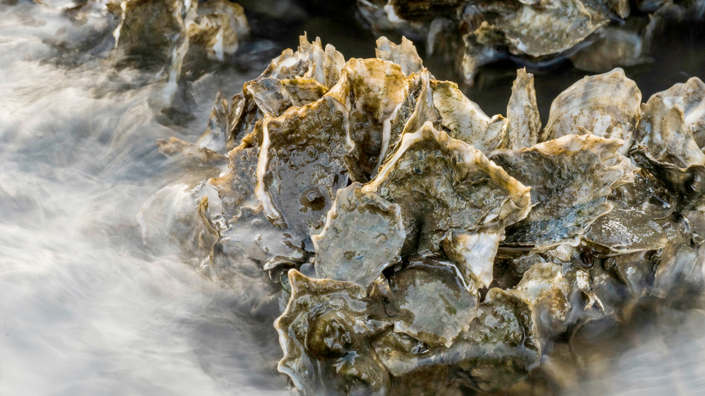
Natural Infrastructure Solutions Come to Life in the National Building Museum in Washington DC.
The Nature Conservancy has partnered with the National Building Museum, in a beautiful and dramatic new exhibit in Washington DC. Designing for Disaster. The exhibit, which opened May 11 and runs through August 2015 at the National Building Museum, explores...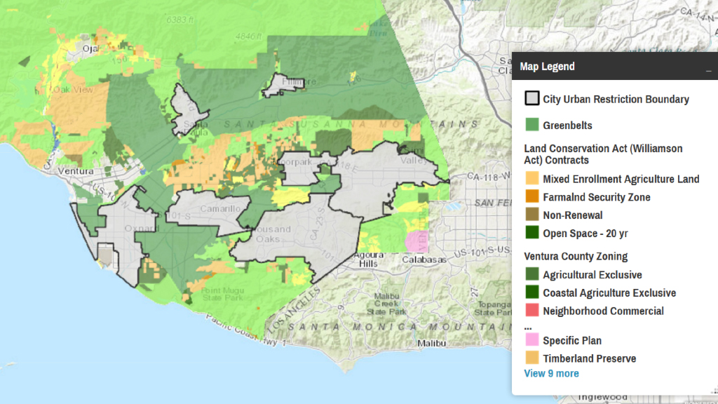
Mapping Tool & Apps
Mapping Overview Starting in 2008, The Nature Conservancy began in New York pioneering an approach to address coastal hazards risks by working with local and federal partners to map sea level rise, storm surge, social and economic assets, community vulnerability and...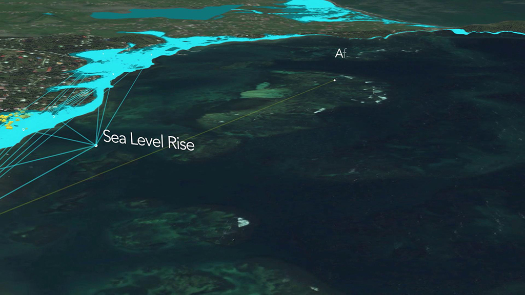
Mapping the reef: video in Grenada
Esri and The Nature Conservancy have produced a new video highlighting how advanced GIS mapping technology can illustrate the strategic goals and impact of natural infrastructure designs. In January 2015, the At the Water’s Edge (AWE) project installed experimental...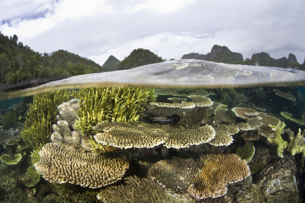
Managing Coasts with Natural Solutions
NEW report: Managing Coasts with Natural Solutions: Guidelines for Measuring and Valuing the Coastal Protection Services of Mangroves and Coral Reefs “Learning from the engineering and insurance sectors, we can do a much better job of directly measuring the...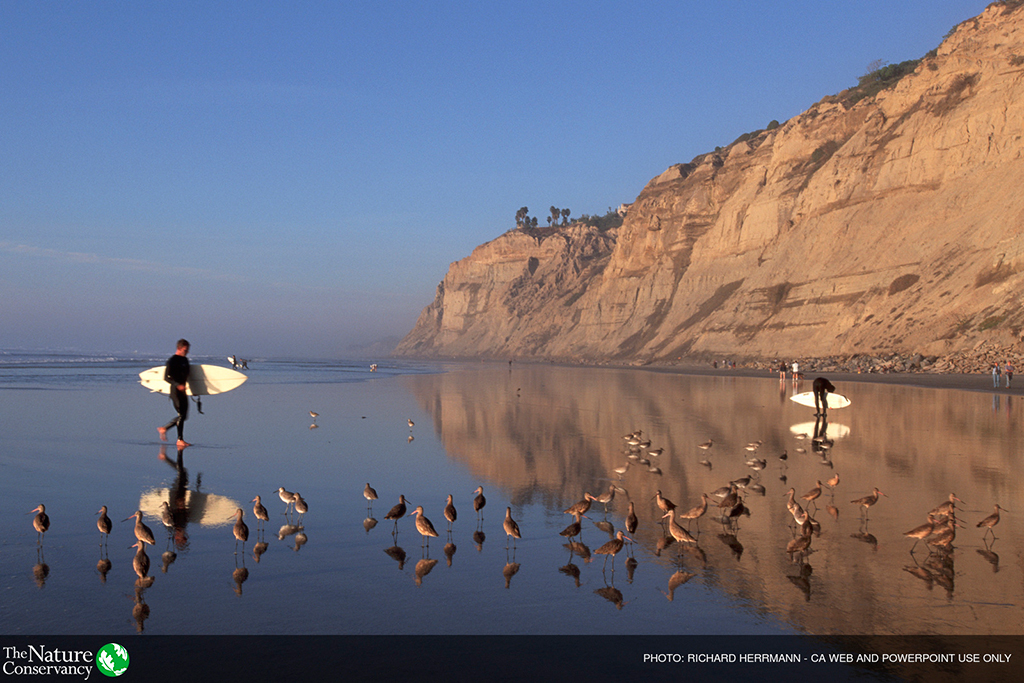
Congratulations to Network members at the San Diego Climate Collaborative!
The San Diego Climate Collaborative received a large NOAA Grant for $689,500 over two years for coastal hazard protection & resilience. Read more about it here.
