Virginia Eastern Shore
Introduction
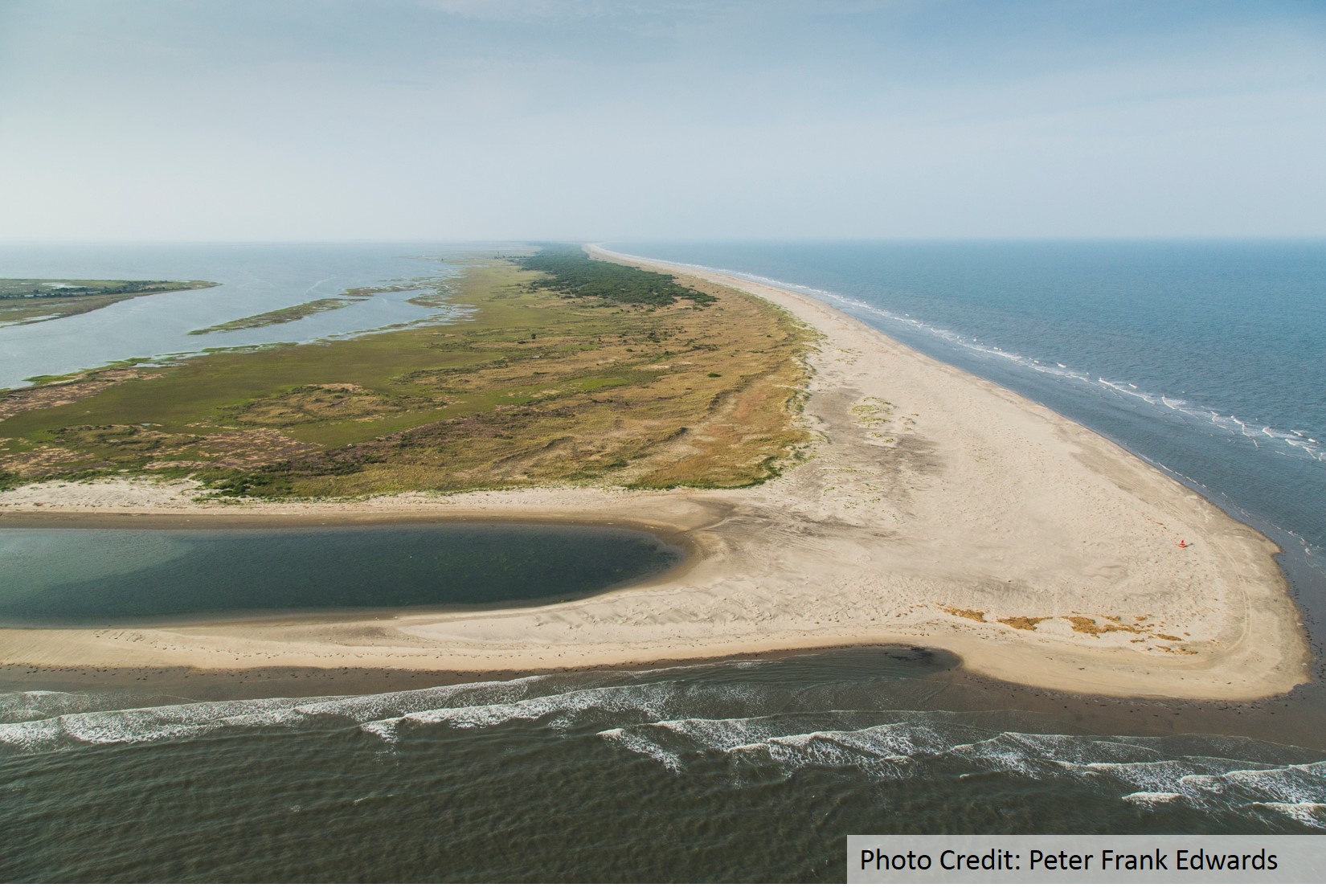
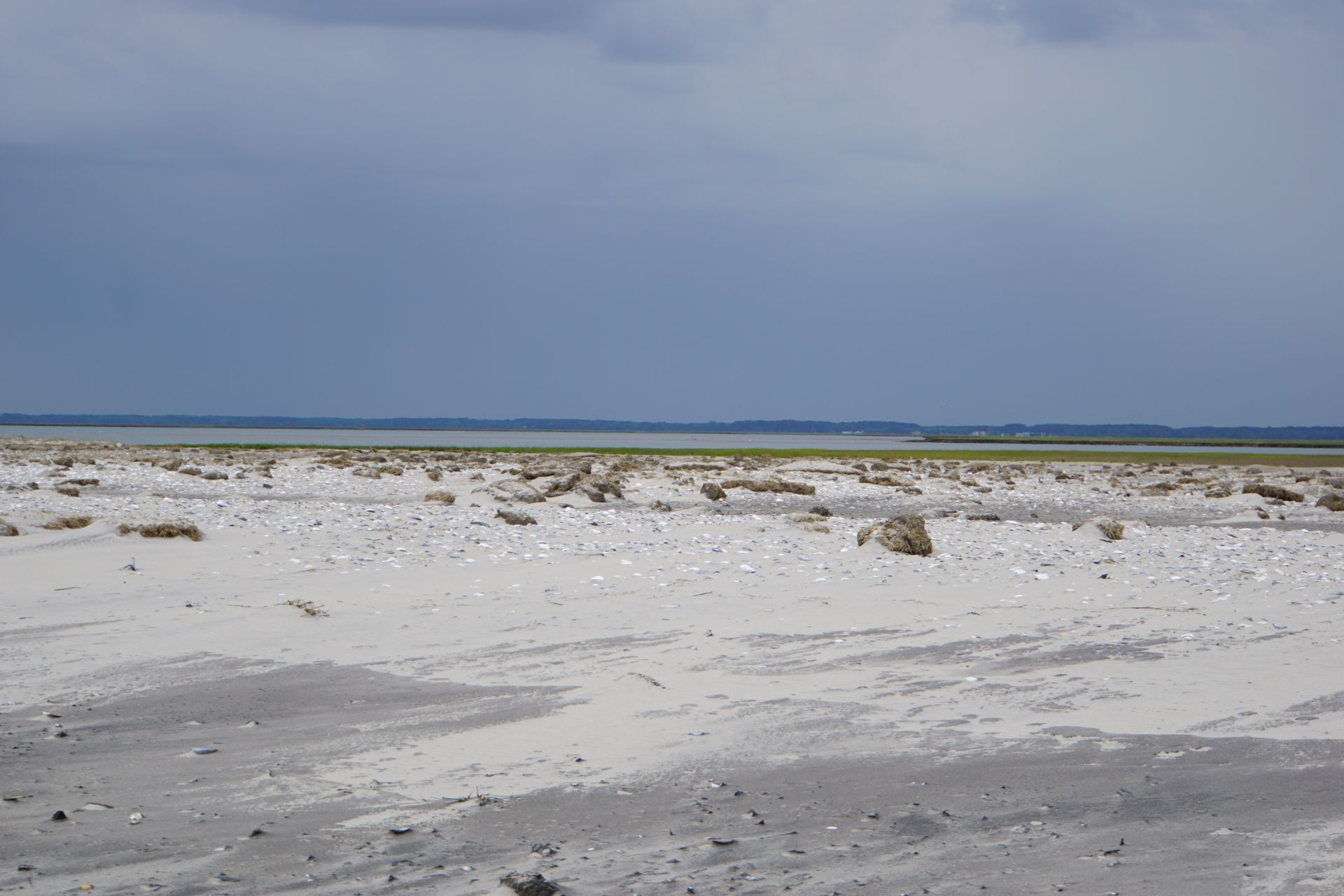
On Virginia’s Eastern Shore—a narrow peninsula that separates the Chesapeake Bay from the Atlantic Ocean—lies the longest coastal wilderness remaining on the U.S. Atlantic Seaboard. Some 60 miles of undeveloped barrier islands are a refuge for hundreds of species of plant and animal life and a mecca for migratory songbirds, raptors, and shorebirds. This iconic wilderness has come to define the local culture and economy. Visitors are greeted with signs proclaiming: “You’ll Love Our Nature.”
It follows that the natural riches of the Virginia’s Eastern Shore make it an important economic engine for the Mid-Atlantic region.
Fishermen, duck hunters, birders, kayakers, and beachcombers flock to its idyllic shores. The Chincoteague National Wildlife Refuge located on Assateague Island is visited by 1.2-1.4 million tourists annually, making it one of the most heavily visited refuges in the US, generating millions of US dollars in spending and creates thousands of jobs for residents living in the Town of Chincoteague and surrounding villages. Because of the clean water in the tidal creeks and bays, the Virginia Eastern Shore is home to the U.S’s largest clam aquaculture industry with an average annual economic impact of $60 million USD. The rural coastal landscape is the ideal location for one of NASA’s premier rocket launch facilities, Wallops Flight Facility, with over $1 billion of mission-critical infrastructure located on Wallops Island, the only developed barrier island on the Virginia coast.

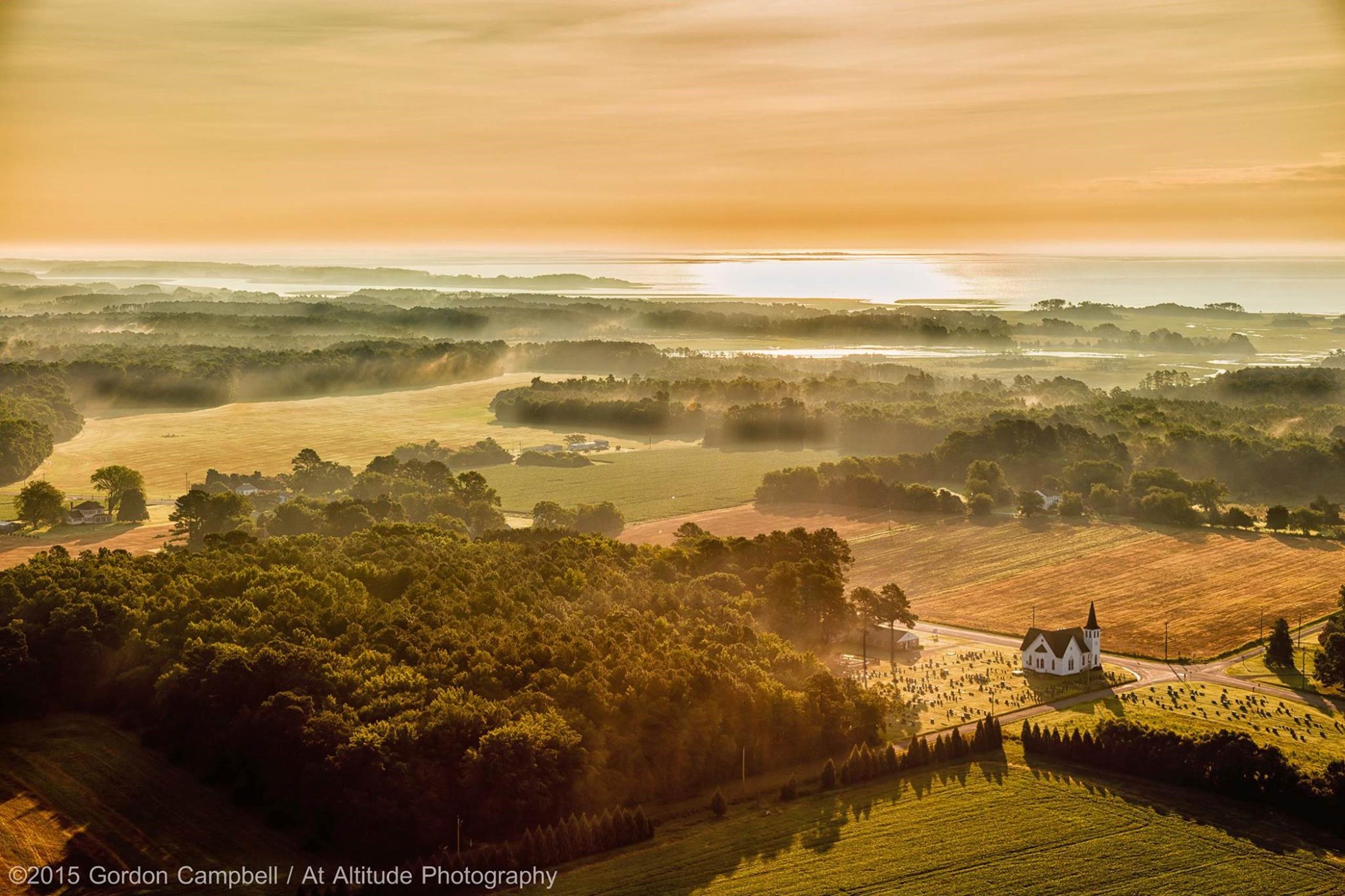
A typical tidal creek on the Atlantic side of the Eastern Shore where clam aquaculture beds thrive alongside agriculture. Photo Credit: 2015 Gordon Campbell / At Altitude Gallery
Moreover, the Eastern Shore hosts one of the National Science Foundation’s prestigious Long-Term Ecological Research (LTER) program sites, the Virginia Coast Reserve, operated by the University of Virginia, which has transformed the region into a center for world-class coastal science research for nearly 30 years.
The region’s way of life and economy relies on the peoples’ dependence on nature as a defense in the face of rising seas and extreme storms. The Eastern Shore lies within one of the U.S’s most vulnerable coastal regions. Sea levels are rising at three to four times the global average and storms are intensifying. Tens of millions of dollars have been spent in the past on piecemeal, reactive approaches to these mounting hazards. Often, engineered infrastructure solutions such as sea walls, groins and jetties have only exacerbated the area’s vulnerability.
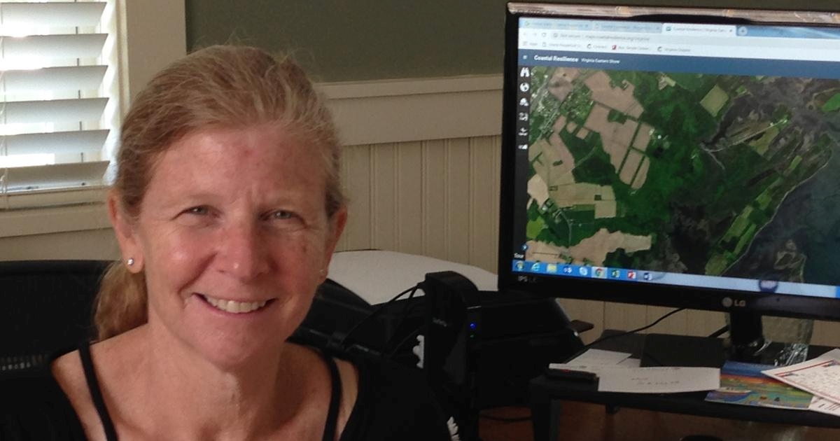
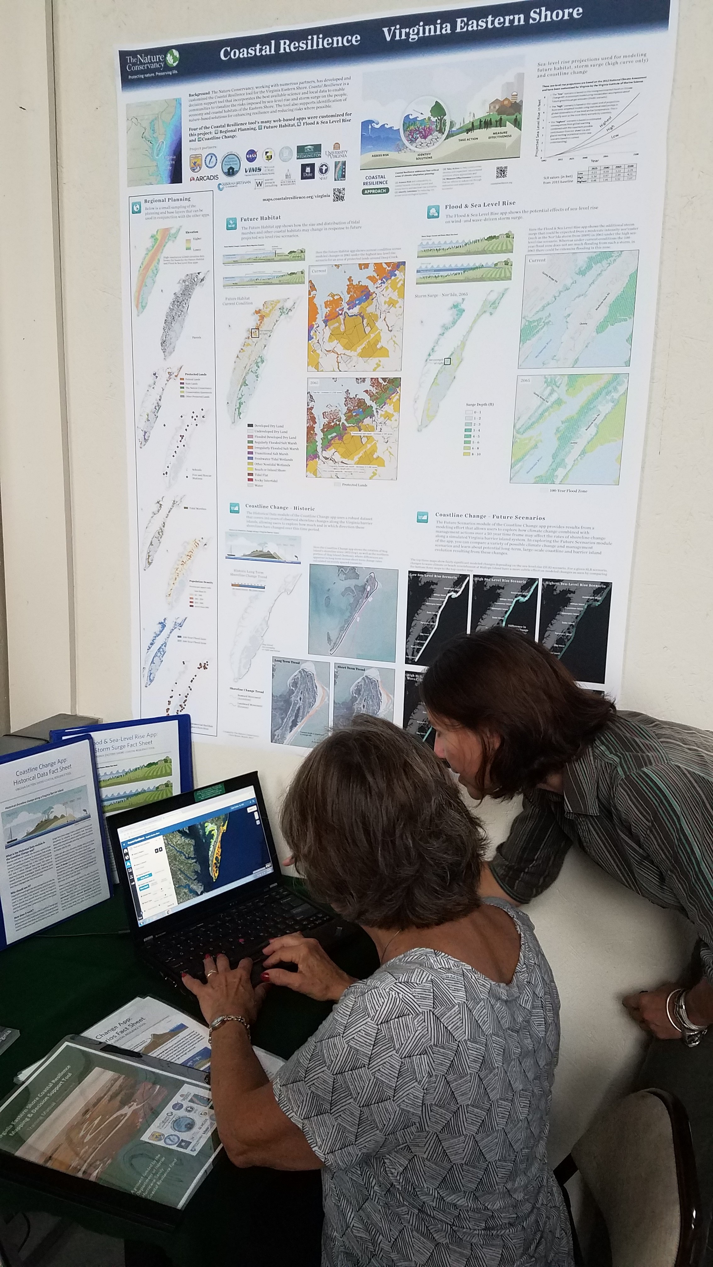
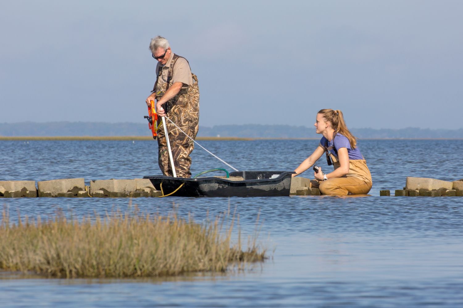
The Nature Conservancy is working with leading coastal scientists and community partners to explore and document the resilience inherent in this natural system. We are using this living laboratory to better understand how nature can make coastal communities here—and everywhere—more resilient in the face of a changing climate. This information is being incorporated into the Coastal Resilience decision support tool, providing local governments with the information they need to better plan for the future.
Please email us at vacoastalresilience@tnc.org with questions and feedback.
LAUNCH the NEW Virginia Eastern Shore Mapping and Decision Support Tool


