by Coastal Resilience | Jun 8, 2018
The Resilient Coastal Cities application uses cutting-edge technology to integrate real-time flood risk information from social media, socio-economic vulnerability, ecological data, and 3-Dimensional simulations to explore nature-based adaptation opportunities.
This app is IN DEVELOPMENT.

by Coastal Resilience | Jun 6, 2018
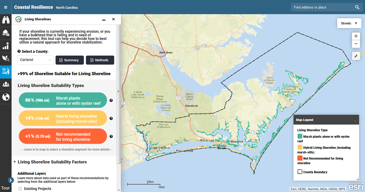
This tool identifies shorelines with low enough wave energy to support the use of living shoreline approaches for erosion control to stabilize your coastline, and it provides design guidance for these types of projects based on site-specific wave energy characteristics.
This app is being used in Australia, New York, New Jersey, and North Carolina.
Read More.

by Coastal Resilience | Jun 4, 2018
The Marsh Explorer analyzes and ranks the restoration potential of New Jersey’s Atlantic coast back-bay marshes based on the amount and size of linear ditching, marsh edge erosion, unvegetated marsh, and unused dredged lagoons.
This app is being used in New York, Connecticut, and New Jersey.
Read More.

by Coastal Resilience | May 30, 2018
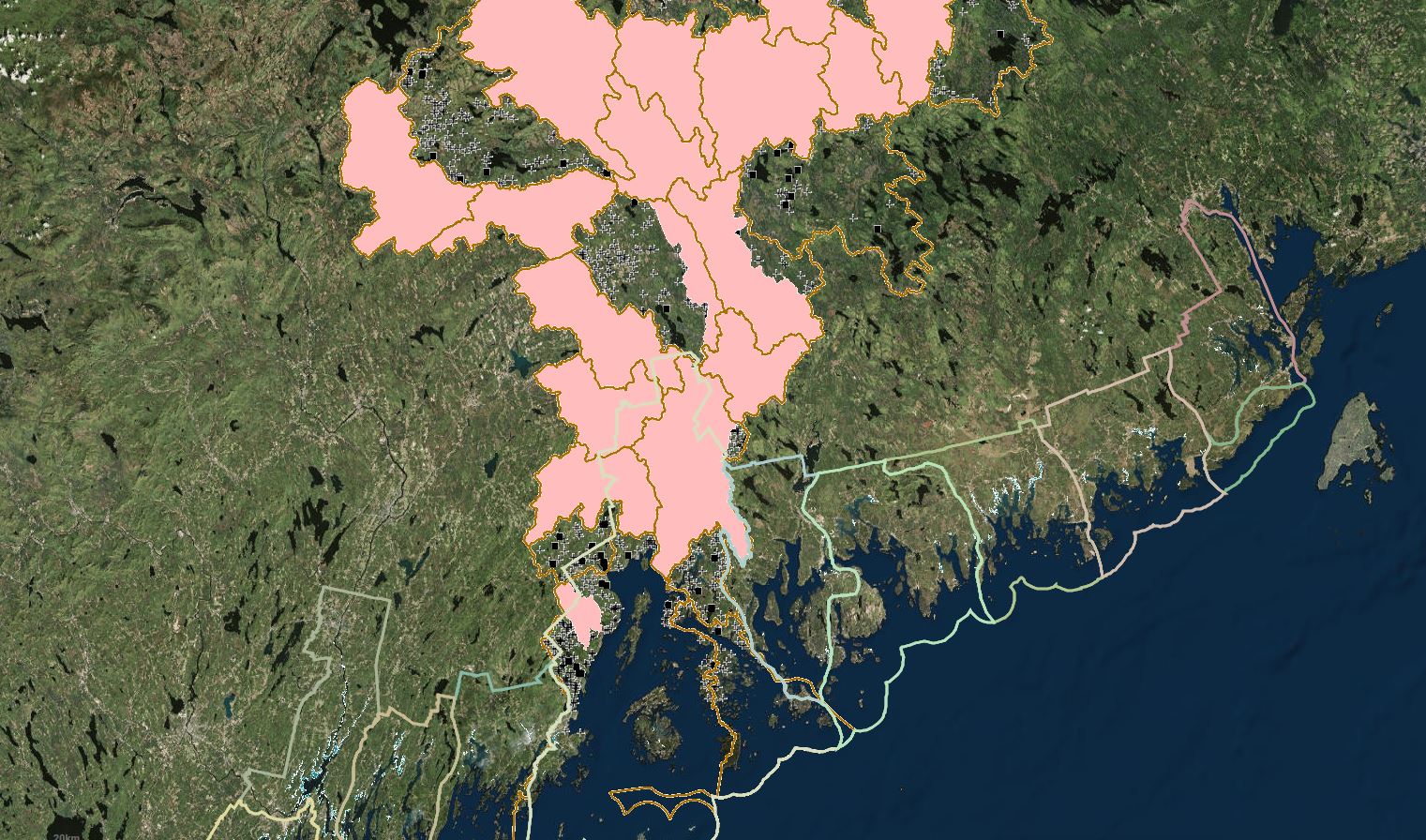
The Aquatic Barrier Prioritization app can be used to assess and prioritize in-stream barriers to fish passage, including dams and poorly functioning road-stream crossings, for removal or upgrade.
This app is being used in Maine, the Northeast, and the Chesapeake Bay Watershed.
Read More.

by Coastal Resilience | Nov 2, 2016
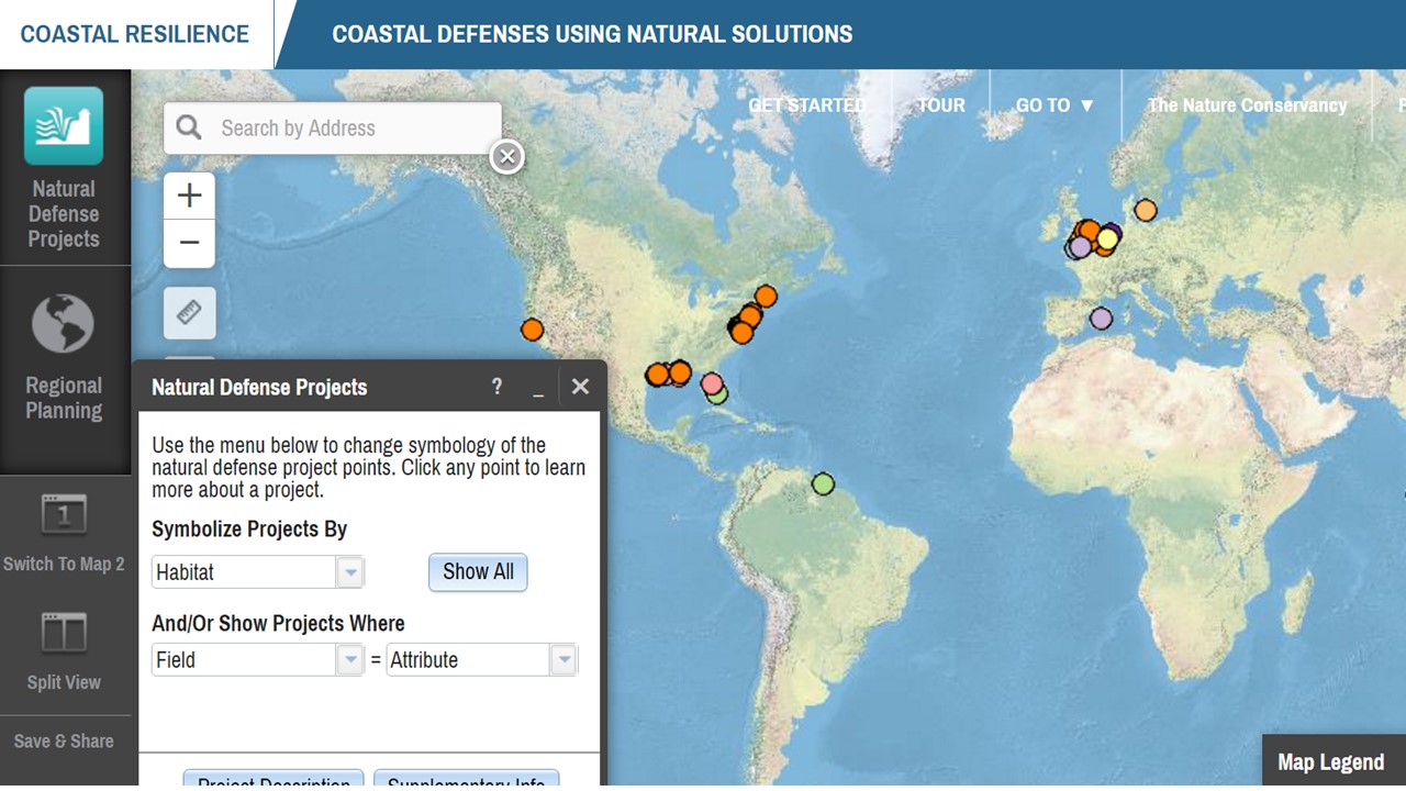
The Natural Defense App evaluates natural coastal habitats like reefs, mangroves, and marshes that often play an important role in coastal protection, and allows users to explore a comprehensive global summary of natural defense projects across multiple habitat types.
This app is being used at the global level.


