by Coastal Resilience | Jun 8, 2018
The Resilient Coastal Cities application uses cutting-edge technology to integrate real-time flood risk information from social media, socio-economic vulnerability, ecological data, and 3-Dimensional simulations to explore nature-based adaptation opportunities.
This app is IN DEVELOPMENT.

by Coastal Resilience | May 30, 2018
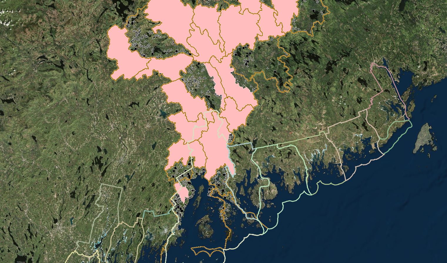
The Aquatic Barrier Prioritization app can be used to assess and prioritize in-stream barriers to fish passage, including dams and poorly functioning road-stream crossings, for removal or upgrade.
This app is being used in Maine, the Northeast, and the Chesapeake Bay Watershed.
Read More.

by Coastal Resilience | Jan 5, 2017
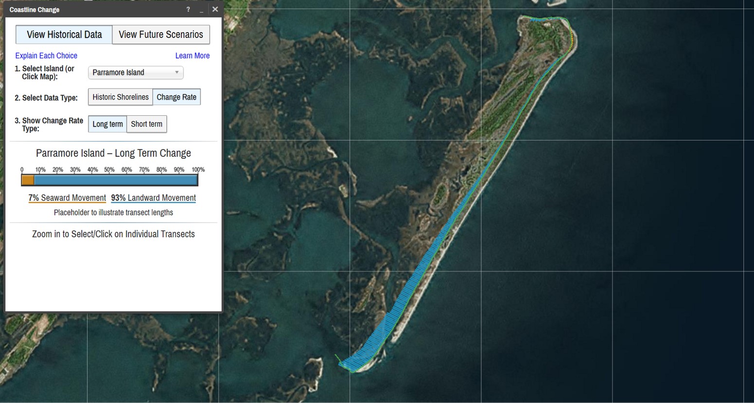
The Coastline Change: Historical Data app serves to educate stakeholders about the dynamic nature of wild barrier islands over time
This app is being used in Virginia.
Read More.

by Coastal Resilience | Nov 2, 2016
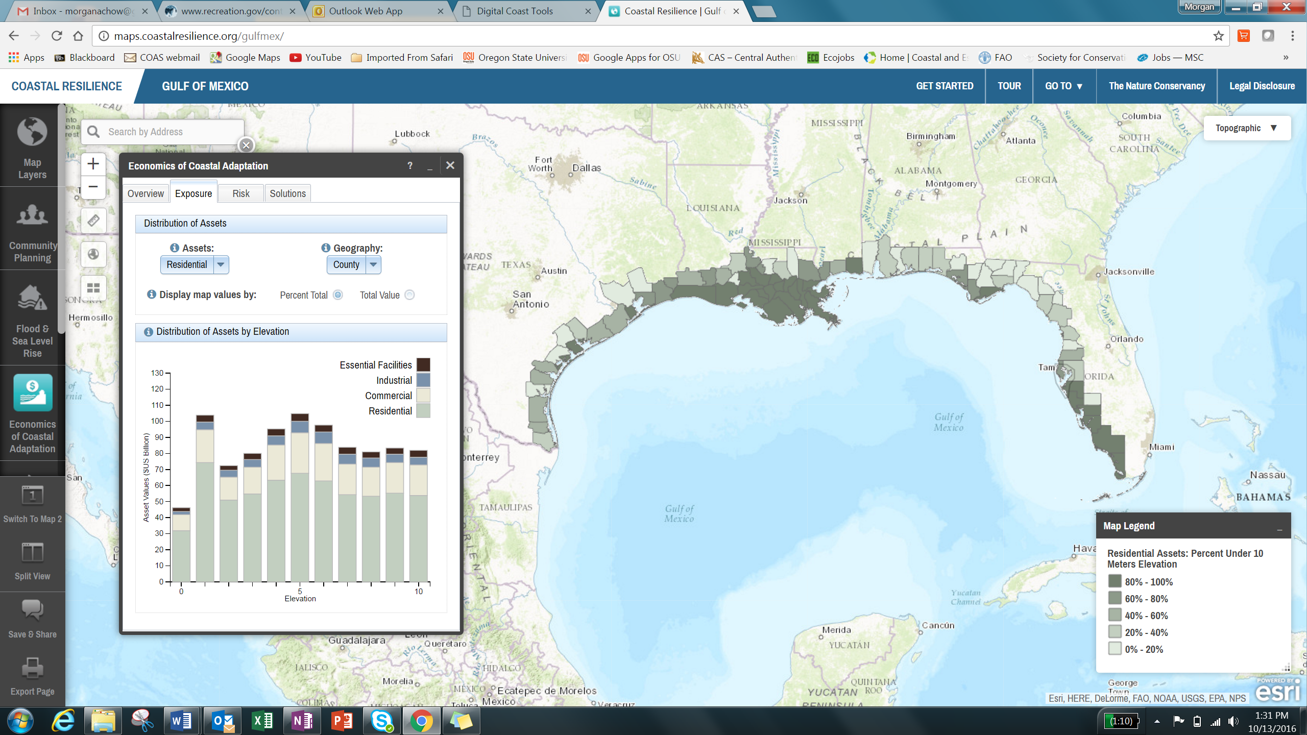
The Economics of Coastal Adaptation app allows users to explore current and future risks from coastal hazards and to compare the cost-effectiveness of nature-based (green), artificial (gray), and policy solutions to reduce risks and avert damages.
This app is being used in Gulf of Mexico Read More.

by Coastal Resilience | Nov 2, 2016
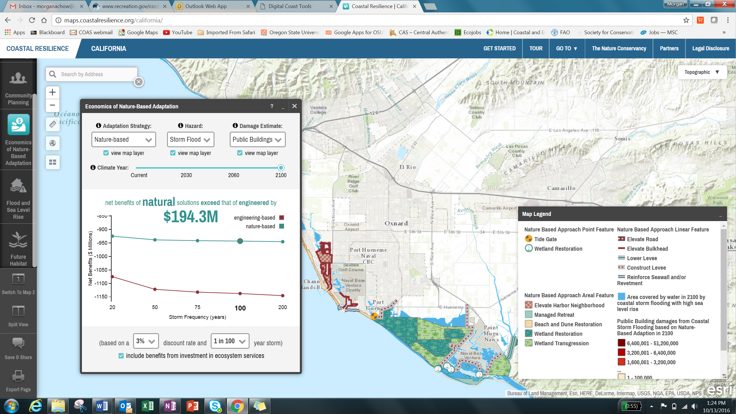
The Economics of Nature-Based Adaptation app allows users to explore current and future risks from coastal hazards and to compare the cost-effectiveness of nature-based (green) and engineered (grey) solutions to reduce risks and avert damages in coastal areas.
This app is being used in California.


