
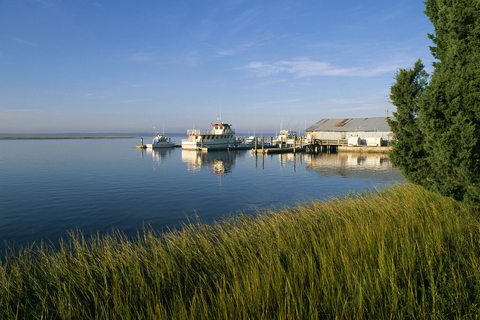
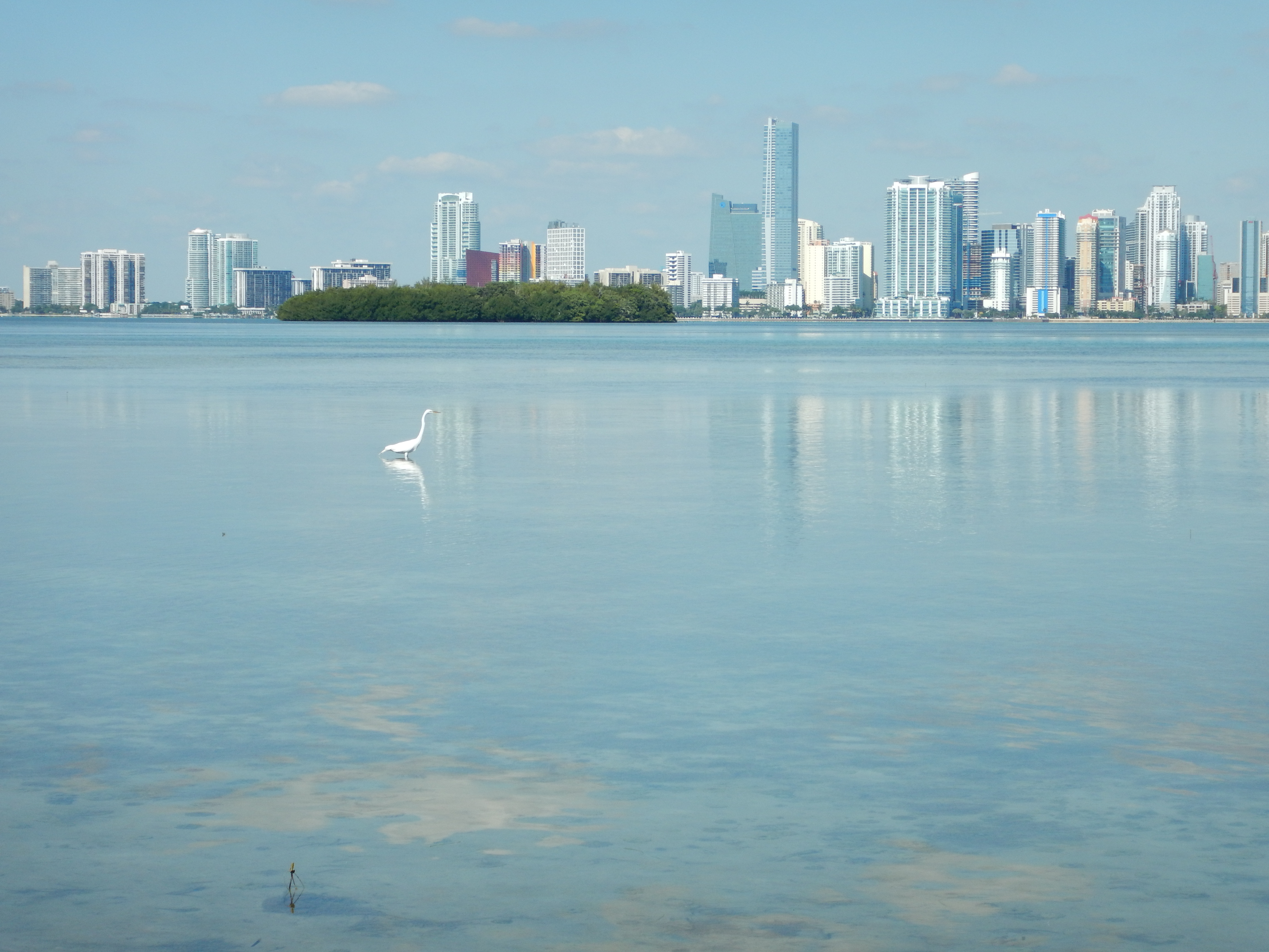
Southeast U.S.
Sea level rise, warming waters and changes in storm patterns area are affecting coastal areas. From the peaceful beach city of St. Mary’s, GA, to the metropolitan mecca of Miami, FL, these coastal communities have one thing in common: they are all seeing effects from the changing ocean. Southeast coastal communities from North Carolina down to Florida have partnered to build understanding of the roles that natural ecosystems have in regards to coastal resilience and planning. Project partners in these four states are conducting in-the-water shoreline erosion control projects to research protection of coastal marshes, barrier islands, coral reefs, floodplains and other habitats critical to natural resilience.
Regional Projects & Solutions
No Results Found
The page you requested could not be found. Try refining your search, or use the navigation above to locate the post.
Overview
Between 1980 and 2006, coastal southeastern counties showed the largest rate of population increase of any coastal region in the contiguous United States. As nearshore waters grow warmer, communities may shift; this is specifically true at the population-dense zones around Cape Hatteras, North Carolina and Cape Canaveral, Florida. Pressures for tourism and development often lead to destruction of coastal habitats and bring tidal flow alterations, and amplified inputs of nutrients and toxins, which impact estuarine and nearshore systems.

TNC is working to mitigate beach erosion, an environmental problem caused by human impact. Photo Credit: (c) Sarah Hartman
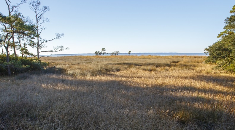
Barrier islands, sand shoals, and riverine deltas are geologically unstable and therefore easily impacted by human activities that diminish sand sources. Channel dredging, as is happening in the Port of Savannah, Georgia, impacts shorelines as sediments accumulate in the deepened channels rather than on the adjacent shores. Also, nearshore sand mining, which occurs in several dozen locations along the east coast, can starve beaches of their natural sand supply in an attempt to nourish other beaches. This can cause loss of some beaches, or they may become more temporary as erosion rates increase.
Although sea level rise and storm frequency are typically the primary climate change impacts associated with coastal systems, changes in water temperatures and pH will accompany them. Lower ocean pH due to elevated global CO2 concentrations, also known as ocean acidification, will inhibit processes oysters rely on for shell development. Healthy oyster reefs decrease the number of harmful algae blooms and the associated fish kills and beach closures. A majority of the coastal wetlands lost from 2004 to 2009 were attributed to effects from coastal storms, land subsidence, sea level rise, or other ocean processes.
These issues can prove disastrous for local economies and are some of the reasons coastal resilience is at the forefront of our minds and we are investing so much into finding the best all-around solutions for these issues.
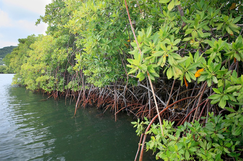
Land Restoration, Community & Living Shorelines
The Southeast network is a regional solution to coordination and knowledge sharing across the four Southeast US states: North Carolina, South Carolina, Georgia and Florida (including the Florida Keys). Site-based projects throughout the area are demonstrating the feasibility and effectiveness of using preserved and restored natural shorelines as part of an overall coastal adaptation package – conserving wetlands, beaches, reefs and estuaries both today and into the future in the face of change.
Projects currently include a range of coastal resilience strategies and natural solutions including living shorelines, community planning, and land protection.

Employees from Boeing in Charleston, SC volunteered to help The Nature Conservancy in South Carolina build a new Oyster Castle reef on the Dupre property, which is found along the Intracoastal Waterway in McClellanville, SC. ©2012 Clay Bolt
Resources
For the latest reports, publications and other resources on coastal resilience in the Southeast Atlantic US, visit the Coastal Resilience Resource Library on the Conservation Gateway.
Related Stories and News
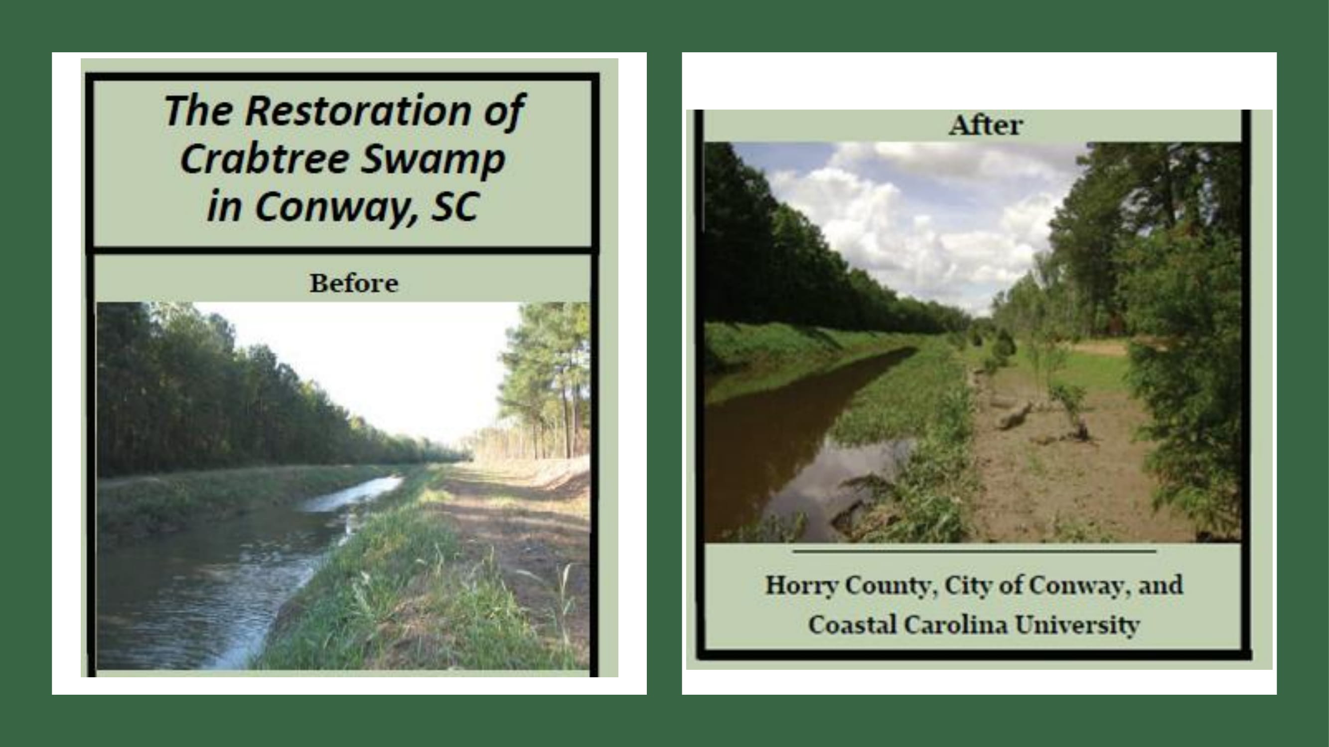
Horry County Focus Group
Goal: Utilize local knowledge and expertise to identify flood prone areas around the rivers in Horry
County.
Outcome: Prioritized list of focus areas and nature based projects to reduce flood potential.
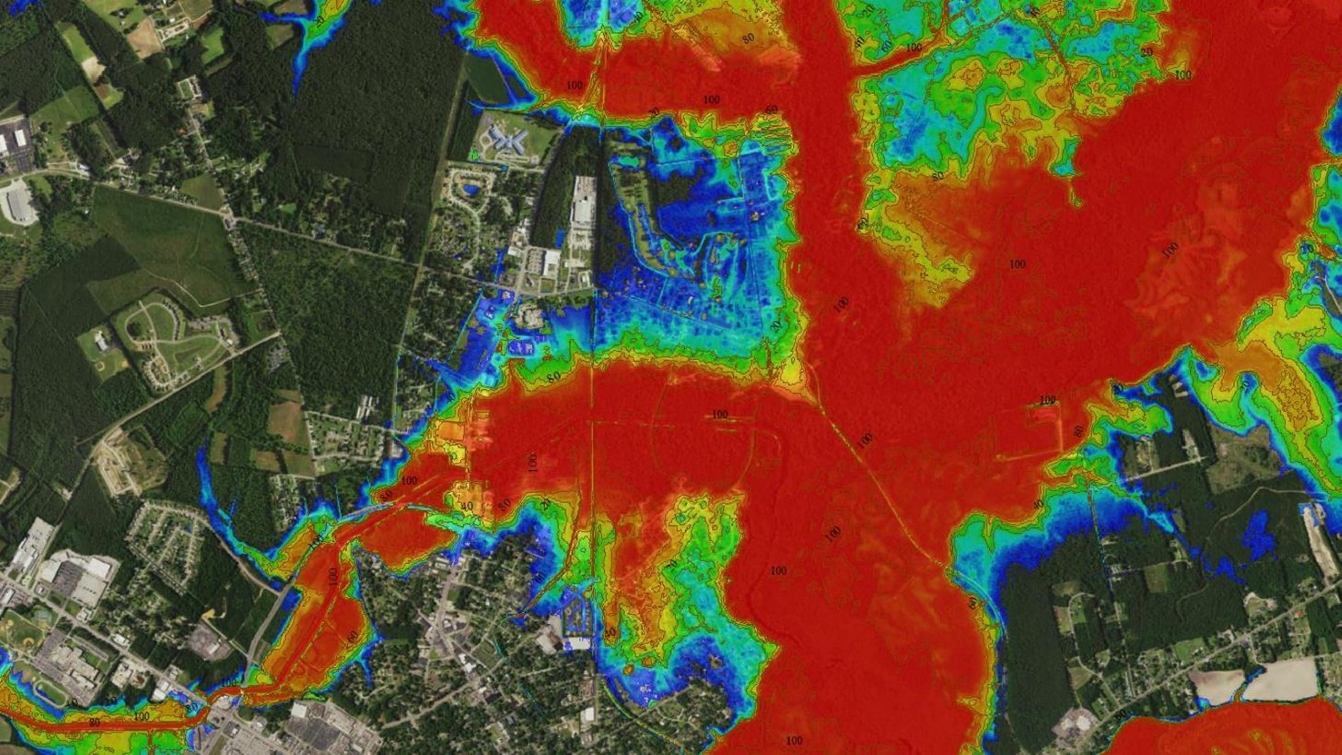
Description of North Coast Mapping
Geoscience Consultants has developed custom Hindcasted Flooding, Risk, and Land Cover maps and information for The Nature Conservancy to support an ongoing project in Horry and Georgetown Counties.
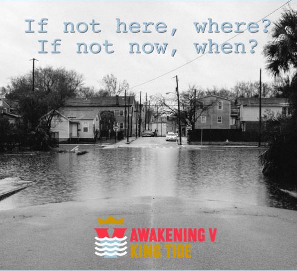
Rising waters featured through public art, parades, lectures, and events in Charleston, SC
A network of residents, artists, businesses and activists, committed to equitable and just growth has assembled a team to shine a light on rising waters through public art, parades, lectures, and events for the Awakening V: King Tide.
14 Solutions to Problems Climate Change Poses for Conservation
The Wildlife Conservation Society (WCS) Climate Adaptation Fund just released a new report, 14 Solutions to Problems Climate Change Poses for Conservation, which features six previously funded projects at TNC. Check it out for inspiration!
St. Marys Flood Resiliency Project
The recently released St. Marys Flood Resiliency Project is the result of a collaborative effort to assess the coastal community’s hazards and flood vulnerability through community outreach and engagement and report on progress with their community rating system Read more…
Miami-Dade County Takes Steps Towards Climate Resilience
Florida is considered one of the most vulnerable and at-risk states to sea level rise, tropical storms, and variations in precipitation levels. In fact, just weeks before Hurricane Matthew made landfall as a Category 1 Hurricane, Miami-Dade County released a...
Reducing Property Loss With Open Spaces
Reducing Property Loss and Flood Insurance Premiums Through Open Space Preservation Contributed by Debbie Crane, Director of Communications for The Nature Conservancy, North Carolina When the Conservancy’s Kate Murray visited Dare County Planner Donna Creef, she came...
Integrating Natural Defenses into Sustainable Coastal Risk Management: New Report
DOWNLOAD FULL REPORT With poorly planned coastal development comes an increase in risk due to coastal hazards and climate change. In the U.S. alone, more than half of the nation’s population lives on the coast. Since 1960, population in coastal areas has increased by...