
Puget Sound
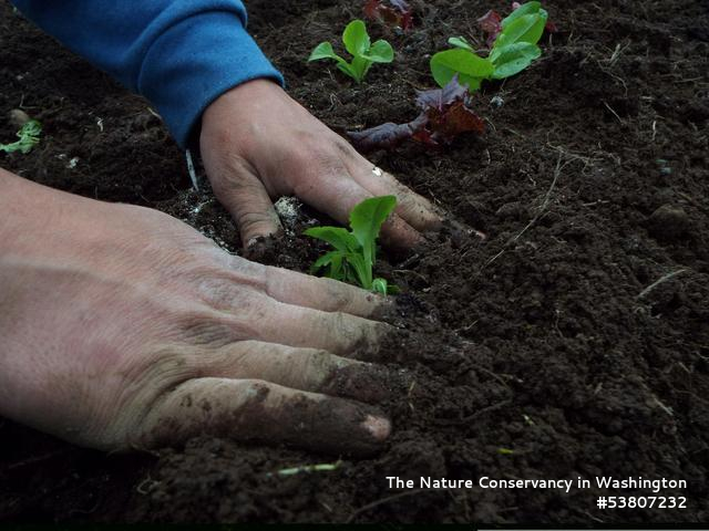
Puget Sound’s major rivers and their floodplains deliver a wealth of economic, natural and cultural benefits and make the region a place we all love to call home. Yet floodplain management has not kept pace with our growing communities- people are living in the path of flood waters; our water quality is on the decline; and habitat critical to restoring salmon populations is disappearing. The Floodplains by Design partnership is bringing funding to implement projects that achieve multiple objectives – they improve flood protection, restore salmon habitats, improve water quality, improve agricultural vitality and enhance outdoor recreation.
Overview
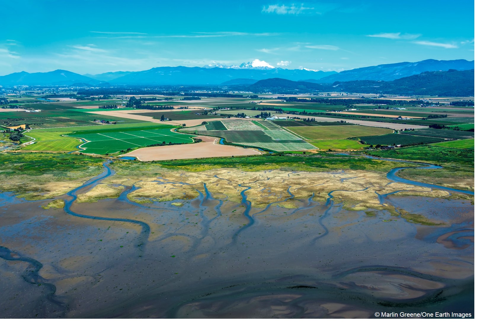
Puget Sound’s lowland river valleys are among the region’s most valuable assets, delivering a wealth of economic, natural and social benefits. These floodplain areas contain the region’s richest farmland, and host the Sound’s signature salmon runs. They feature commercial, residential, and industrial development valued at over $18 billion. They support wetlands and forests that filter pollutants out of our water sources. They recharge aquifers and provide recreational opportunities for the 4 million people who live in the Puget Sound region. However, Puget Sound communities are at increasing risk from rising sea levels, more extreme coastal storms, and more frequent river flooding.

Aerial view of flooding of the Snoqualmie River Valley in December 2010. Photo courtesy of King County.
Socioeconomic
Despite the many values they contain, Puget Sound floodplains are also home to the most damaging natural disasters in the state: floods. Over 1000 critical public facilities, including hospitals, schools, and fire stations are located within Puget Sound’s floodplain areas.
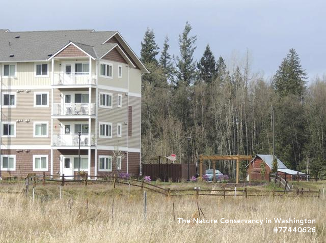
Population growth and development continues to change the landscape, increasing the number of people in harm’s way and compromising river functions. The agricultural industry is trying to maintain its viability in the face of increasing development, habitat restoration and regulatory pressure. Further, flood response and repair costs are increasing while federal funds for
flood control facilities are decreasing, and investments in habitat or water quality improvements are overwhelmed by investments in activities that degrade river functions.
Habitats and Species
Meanwhile, salmon runs continue to decline, despite the recognition that the protection and restoration of floodplain ecosystems is a critical component of salmon recovery in Puget Sound. With the region’s population growing rapidly and climate change forecasts calling for more frequent and severe winter flooding, the problems continue to grow.
Overview
Meanwhile, salmon runs continue to decline, despite the recognition that the protection and restoration of floodplain ecosystems is a critical component of salmon recovery in Puget Sound. With the region’s population growing rapidly and climate change forecasts calling for more frequent and severe winter flooding, the problems continue to grow.

Salmon fishing on the “Blakes Drift” section of the Skagit River in Washington, with Mike Cladoosby of the Swinomish Tribal Community . The Skaget River is important habitat for Puget Sound salmon, an economically important species for the state of Washington. PHOTO CREDIT: Bridget Besaw
Natural Infrastructure
The main goal in Puget Sound is to improve the resiliency of these floodplains for the protection of human communities and the health of the ecosystem, while supporting values important in the region such as agriculture, clean water, a vibrant economy and recreation.

Calistoga Reach setback levee near the City of Orting, WA, 2014. Photo take by Floodplains by Design.
Levee Setbacks
The Calistoga Reach Setback Levee and Side-Channel Construction project near the City of Orting, WA involved moving people out of harms’ way and removing existing levees and a road. By installing a setback levee, this project restored natural functions to approximately 280 acres that were previously the site of repeated flood damages, creating economic burdens and putting citizens and responders at risk.
Connectivity
Reconnecting rivers to their floodplains helps restore habitat for native species including ESA-listed Chinook and steelhead trout, and reduces flood risks to public infrastructure and private farms. The Snoqualmie River Fall City Corridor project will restore up to 105 acres of degraded floodplain. Ultimately, this solution will improve habitat, protect farmland and reduce flooding by reconnecting the river to 250 acres of floodplain area in this reach.
Hybrid Approach
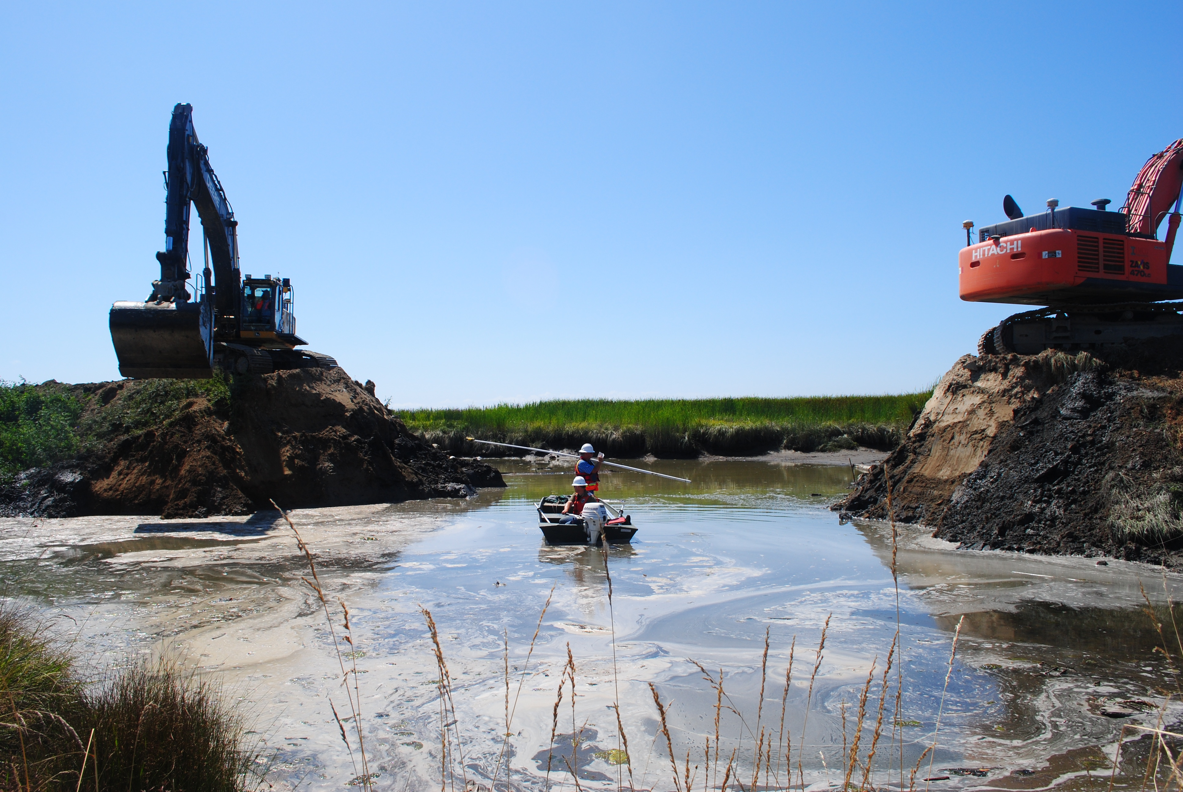
Sometimes nature-based solutions can work together with built infrastructure to provide the biggest benefit. The Port Susan Bay Estuary Restoration Project restored 150 acres of tidal marsh in the Stillaguamish River estuary. An outer dike was removed and an inner dike redesigned to provide greater protection for neighboring farmlands during floods, and improve the ability of fish caught in flood waters to return to the natural system.
Now, native tidal-wetlands that support estuary-dependent animals are in better condition, juvenile chinook salmon have access to restored rearing habitats, and the stronger connection between the river and tidal habitats will improve the resilience of the estuary and dike infrastructure to sea level rise. Healthier tidal wetlands also mean more food in the system for salmon, Dungeness crab, gray whales . . . and people.
Partners
The Floodplains by Design partnership is led by The Nature Conservancy, Puget Sound Partnership, and the Department of Ecology.
Resources
For the latest reports, publications, and information on Puget Sound Coastal Resilience and Floodplains by Design, please visit www.floodplainsbydesign.org
Related Stories and News
Progress made on climate projections and impact on local agriculture
Flood and groundwater climate change modeling is underway to inform development of resilience projects for the local farming community. Learn about the latest progress of this initiative here.
Developing an plan for resilient agriculture in Snohomish County
Get the latest on development of an Agriculture Resilience Plan for Snohomish County in Washington. The goal of this farmer-led initiative is to implement a strategy to maintain agricultural viability in the face climate related changes and a growing population.
Floodplains by Design Blog
Floodplains by Design uses science, collaboration and partnership to create and integrate projects that improve flood protection for towns and farms, restore salmon habitats, improve water quality and enhance outdoor recreation.
Floodplains by Design
The Floodplains by Design partnership is carrying out integrated projects that improve flood protection for towns and farms, restore salmon habitats, improve water quality, and enhance outdoor recreation.