by Coastal Resilience | May 8, 2018
Current global estimates do not capture enough of the finer scale variability required to inform local decisions on siting protection and restoration projects. To close this knowledge gap, TNC and Woods Hole scientists compiled a large georeferenced database of mangrove soil carbon measurements and developed a novel machine-learning based statistical model of the distribution of carbon density using spatially comprehensive data at a 30 m resolution.
Download
by Coastal Resilience | May 8, 2018
This report uses rigorous hydrodynamic and economic models to value the coastal flood protection services of mangroves globally, and identifies the places where mangroves provide the greatest risk reduction benefits to people and property. Results demonstrate that mangrove conservation and restoration is an important part of the solution for reducing risk.
Download

by Coastal Resilience | May 4, 2018
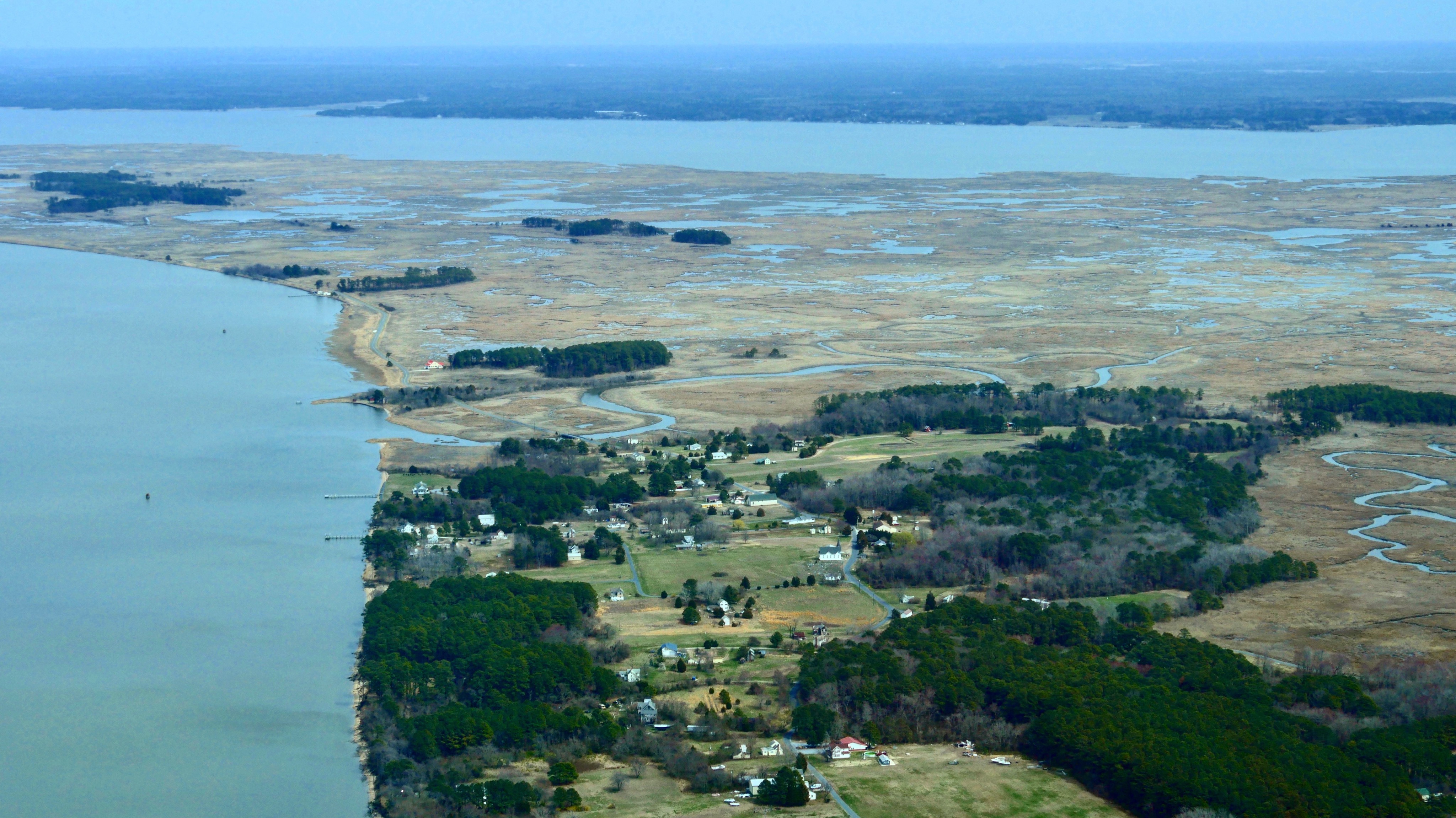
Maryland’s coasts are already experiencing dramatic and frequent nuisance flooding and saltwater intrusion into agricultural fields. The Nature Conservancy and its partners throughout the state are demonstrating how nature can be a part of the solution.
by Coastal Resilience | Apr 12, 2018
This paper shows -for the first time – that the cost effectiveness of nature-based, artificial, and policy solutions for reducing risk from storms and sea level rise can be quantitatively compared to one another across regions as large as the Gulf of Mexico.
Download

by Coastal Resilience | Mar 16, 2018
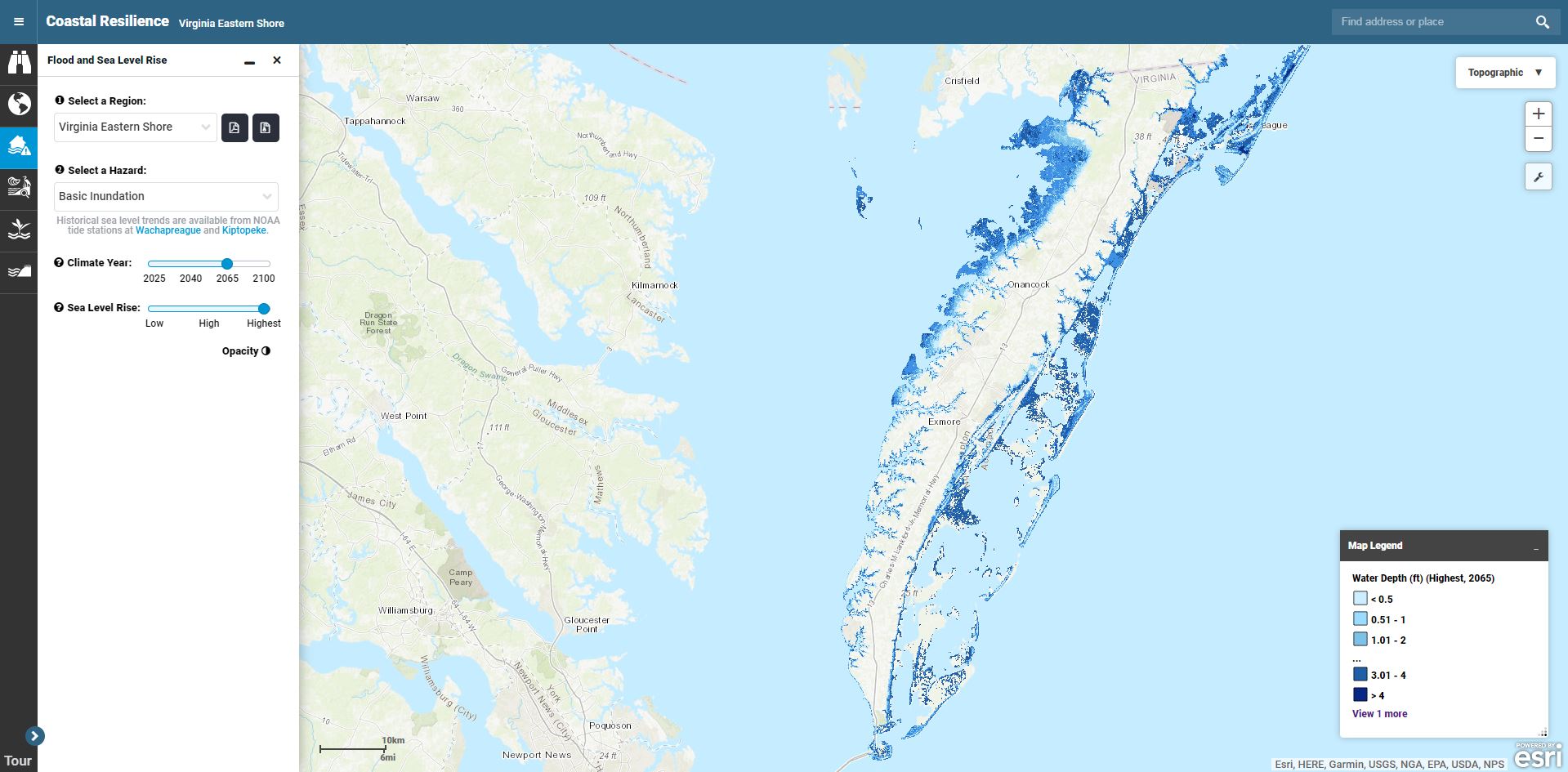
Take this step-by-step tutorial to learn how to use the Flood and Sea Level Rise app.


