by Coastal Resilience | Oct 6, 2016
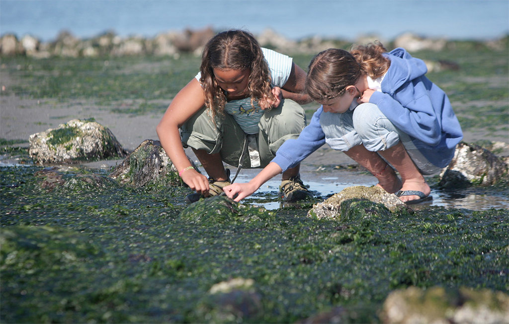
Coastal Defense quantifies how natural habitats protect coastal areas by reducing wave-induced erosion and inundation. In Puget Sound Washington, the app allows users to estimate how and where to restore or conserve critical marsh habitat, and thereby increase the resilience of your coastal community and levee infrastructure.

by Coastal Resilience | Oct 6, 2016
This video continues with the basic navigation of the Coastal Resilience web mapping framework, covering split screen scenario planning, sharing and saving, and exporting.

by Coastal Resilience | Oct 6, 2016
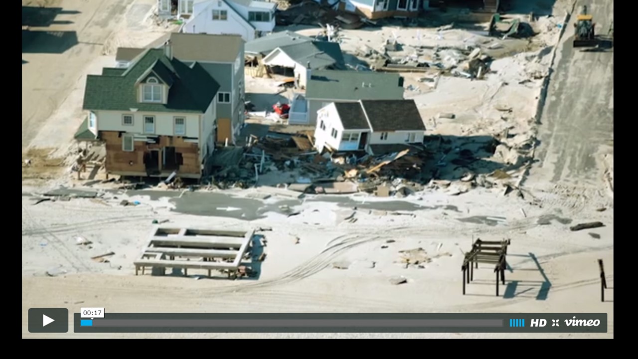
This is an introductory video that provides an overview of the basic navigation of the Coastal Resilience web mapping framework.

by Coastal Resilience | Oct 6, 2016
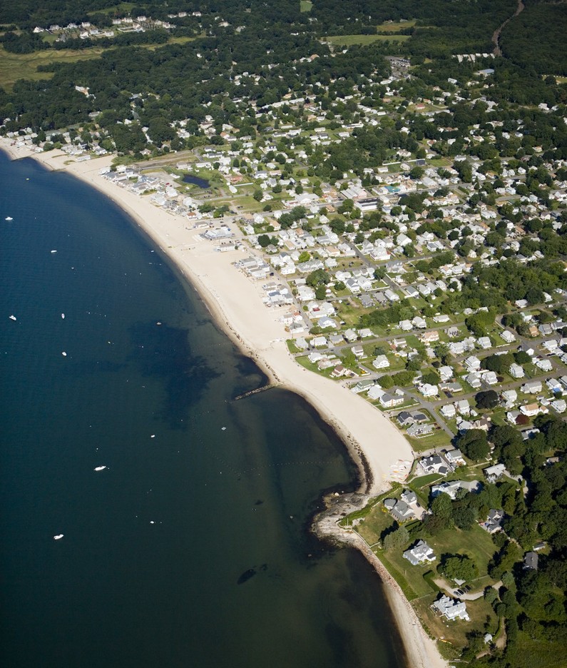
The Coastal Resilience web mapping portal allows users to visualize ecological, social, and economic information alongside sea level rise and storm surge scenarios. The tool also includes customized applications or “apps” that cater to the needs of stakeholders, policies and planning processes.

by Coastal Resilience | Sep 21, 2016
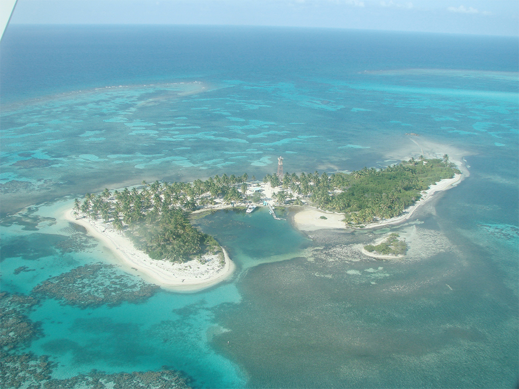
Stretching for 625 miles along the coast of Honduras, Guatemala, Belize and Mexico, the MesoAmerican Reef is the largest barrier reef in the western hemisphere. Climate change is putting at risk the livelihoods of nearly two million people along the Reef by affecting infrastructure, tourism developments, agriculture and fishing grounds.


