by Coastal Resilience | Oct 6, 2016
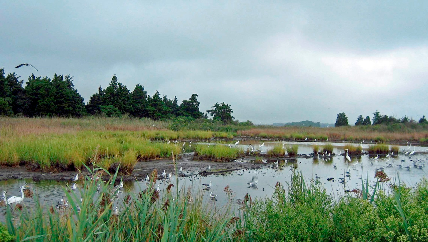
The Restoration Explorer is a web based mapping tool that allows communities and their partners to examine what types of living shorelines are most appropriate for a particular location. Utilizing the Restoration Explorer during the initial steps of developing a shoreline stabilization project can help communities identify where greener options are applicable – allowing them to respond to shoreline erosion while maintaining and/or enhancing the health of coastal habitats.

by Coastal Resilience | Oct 6, 2016
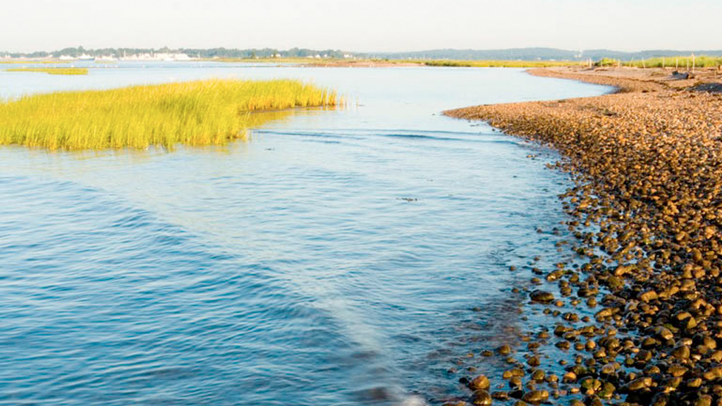
The Risk Explorer is organized by state and permits users to easily visualize coastal hazards exposure, social vulnerability and overall risk. The app allows users to explore where people and properties benefit most from the risk reduction benefits provided by habitats. This app is being used across the U.S. in Connecticut, Southeast Florida, the Gulf of Mexico, New Jersey, and New York.

by Coastal Resilience | Oct 6, 2016
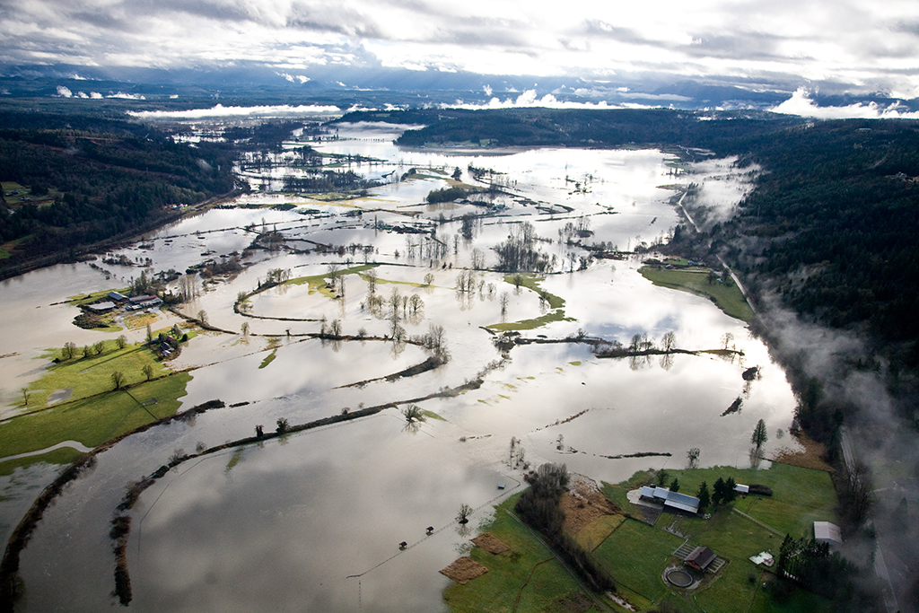
This is a floodplain focused app that allows decision makers to assess risk and vulnerability to inundation from combined sea level rise and future riverine flooding impacted by climate change.

by Coastal Resilience | Oct 6, 2016
This is a floodplain focused app that allows decision makers to assess risk and vulnerability to inundation from combined sea level rise and future riverine flooding impacted by climate change.

by Coastal Resilience | Oct 6, 2016
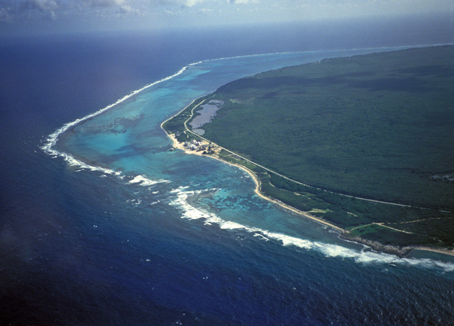
Flooding is increasing along the coast and certain rivers. Use this app to view areas affected today and in the future due to increased sea level rise, surge from storms and hurricanes, and inland flooding. This app is being used in all Coastal Resilience geographies.


