
Maryland
Maryland is already experiencing the impacts of a changing climate: dramatic nuisance flooding is commonplace along the coast, and agricultural fields on the Eastern Shore are increasingly struggling to deal with saltwater intrusion. Thankfully, nature can help. Coastal habitats, especially marshes and forests, play a significant role in reducing risk along Maryland’s shoreline. According to a recent study, Maryland’s wetlands reduced damages from Hurricane Sandy by nearly 30% — that’s over $40 million dollars saved in avoided damages. For more information on the analysis, conducted in partnership by The Nature Conservancy, Lloyds of London, Wildlife Conservation Society, and UC Santa Cruz, click here.

Marshes on Maryland’s Eastern Shore. Photo Credit: Kelly Leo (TNC)

Marshes on Maryland’s Eastern Shore. Photo Credit: Kelly Leo (TNC)
Overview
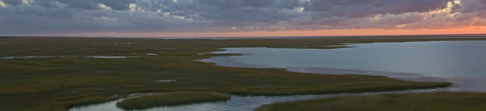
With over 7,700 miles of shoreline, Maryland is one of the most vulnerable states to the effects of coastal flooding and erosion. Maryland’s Eastern Shore is the third most vulnerable region in the country after the Mississippi Delta and South Florida due to a combination of high rates of localized sea level rise and high rates of regional land subsidence – a natural geologic phenomena. Over the last century, Maryland has already witnessed over a foot of sea level rise, the impacts of which can be seen regularly on the ground in the form of increasingly frequent and dramatic nuisance flooding of roads and coastal properties, marsh loss, saltwater intrusion onto the edges of coastal agricultural fields, and through illustrative ghost forests – coastal forests dying in place as salt waters take over.
Socioeconomic

As sea levels rise, agricultural fields are being inundated with salt water on the Eastern Shore of Maryland. Photo Credit: Severn Smith (TNC)
Marshes trap nutrients before they get into Chesapeake Bay, improving local water quality and providing critical nursery habitat for commercially and recreationally important fish and seafood species. Unless we act now to protect against dramatic marsh loss, Maryland’s seafood industry will once again be at risk.
Farmers across the Eastern Shore are already experiencing the impacts of saltwater intrusion on lower-lying edges of their agricultural fields. While the dynamics of saltwater intrusion are complex, its projected area of impact is only expected to increase, constraining arable lands and making it harder for farmers to make ends meet.
Climate change does not impact everyone equally. Some areas are more vulnerable than others, and some communities have resources in place that naturally make them more resilient in the face of frequent flooding and erosion. According to Maryland’s Coastal Resiliency Assessment, some of the most at-risk areas can be found in Dorchester, Somerset, and Worcester Counties. The Conservancy is beginning to work with these communities to identify ways that nature can help them become – naturally – more resilient.
Habitats and Species

Ghost Forest at TNC’s Robinson Neck Preserve, MD. Photo Credit: Kelly Leo
The Maryland Department of Natural Resources estimates that we could lose as much as 90% of our coastal marshes by 2100 to a combination of over three feet of projected sea level rise and localized land subsidence. In some of the more vulnerable places, like Blackwater National Wildlife Refuge located on the lower Eastern Shore in Dorchester County, we have already seen dramatic marsh loss in the last century of up to 5,000 acres. Thankfully, scientists and managers are also noting that nearly 3,000 acres of marshes have emerged at upland edges. But managing for wetland migration may come at a cost – as we lose ground, we need to make touch choices about how to use the lands that remain: do we manage upland areas for coastal forests, which are some of the most effective habitats for reducing flood impacts and risks to communities are losing ground to marshes? Or do we allow marshes to take them over, as visualized by the dramatic ghost forests seen along much of the Eastern Shore.
Marshes are important nursery habitats for fin and shellfish, but also provide critical nesting habitat for a variety of shorebirds. 90% marsh loss would have crippling and cascading impacts throughout our coastal ecosystems.

Ghost Forest at Assateauge Island National Seashore. Photo Credit: Kelly Leo
Overview

Deal Island, the site of a wave attenuation study on Maryland’s Eastern Shore – a partnership between The Nature Conservancy, George Mason University, and the MD Department of Natural Resources. Photo Credit: Kelly Leo (TNC)
Evaluating the effectiveness of Eastern Shore tidal wetlands for storm risk reduction in the Chesapeake Bay
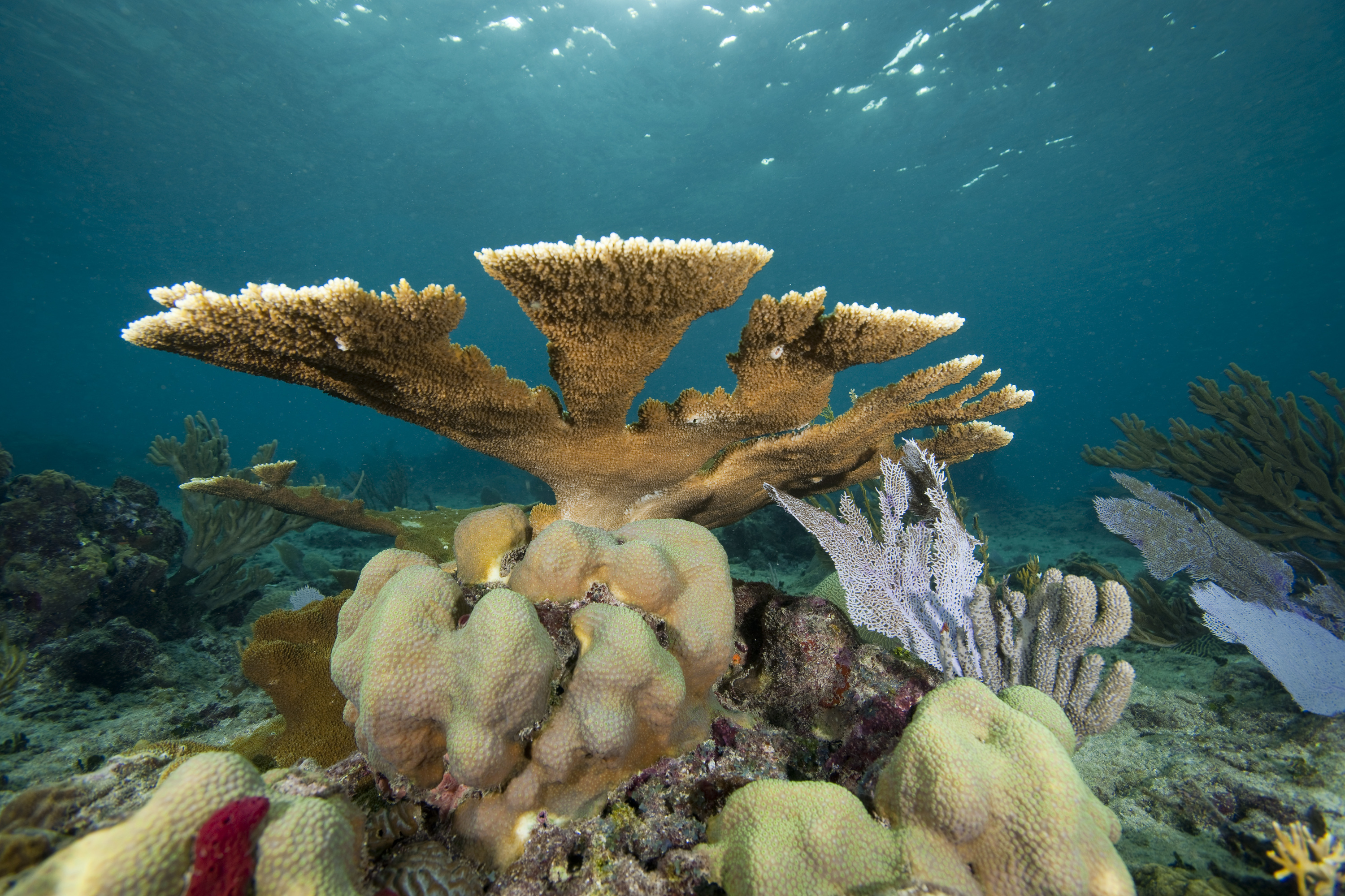
Coastal wetlands are known for their importance for biodiversity and as natural defenses against waves, erosion and storm surge. A lot of work has been done globally to document the risk reduction value of mangroves and coral reefs but, to-date, there is little to no robust work that quantifies the benefits of wetland habitats in Maryland along the Chesapeake Bay.
To help fill in this gap, the Maryland/DC Chapter of The Nature Conservancy, George Mason University and Maryland’s Department of Natural Resources are partnering to better understand the effectiveness the Eastern Shore’s natural tidal wetlands to reduce the impacts of wave energy. This project will measure the hydrodynamics of storm surge and waves inside Maryland’s marshes and the attenuation of waves and currents. The results will indicate the capacity of coastal wetlands and marshes to absorb tidal flooding and reduce wave energy and impact reducing storm surges.
The first field site selected for this study is the future site of the Department of Natural Resources’ shoreline dune restoration project: the marsh just south of Soundside Estate Road. The scientists from George Mason University will begin installing monitoring devices in the marsh in May 2018.

Wave Attenuation Study Team selecting the field site on Maryland’s Eastern Shore – a partnership between The Nature Conservancy, George Mason University, and the MD Department of Natural Resources. Photo Credit: Kelly Leo (TNC)
Maryland’s Coastal Resiliency Assessment
The Nature Conservancy partnered with the Maryland Department of Natural Resources to conduct a Coastal Resiliency Assessment aimed at understanding how the habitats, hazards, and people across Maryland’s coastlines intersect and identifying priority areas for protection and restoration where nature can help communities become more resilient. The Assessment is being used to guide land protection opportunities to promote the resilience of natural and human communities across our coastline.
Protecting Wetland Adaptation Areas
The Nature Conservancy has been working to protect biodiversity hotspots in the Nanticoke watershed for decades. Thousands of acres of habitat that we have helped to protect are now known to be important wetland adaptation areas. The Conservancy is working to ensure that these areas are best managed to allow for marsh migration in response to changing coastal conditions. We recently submitted a proposal to expand the Nanticoke Rural Legacy Area to make it even easier to protect greater expanses of wetland adaptation areas in the region.
Resources
For the latest reports, publications and other resources on coastal resilience in Maryland visit the Coastal Resilience Resource Library on the Conservation Gateway.
Related Stories and News
Description of North Coast Mapping
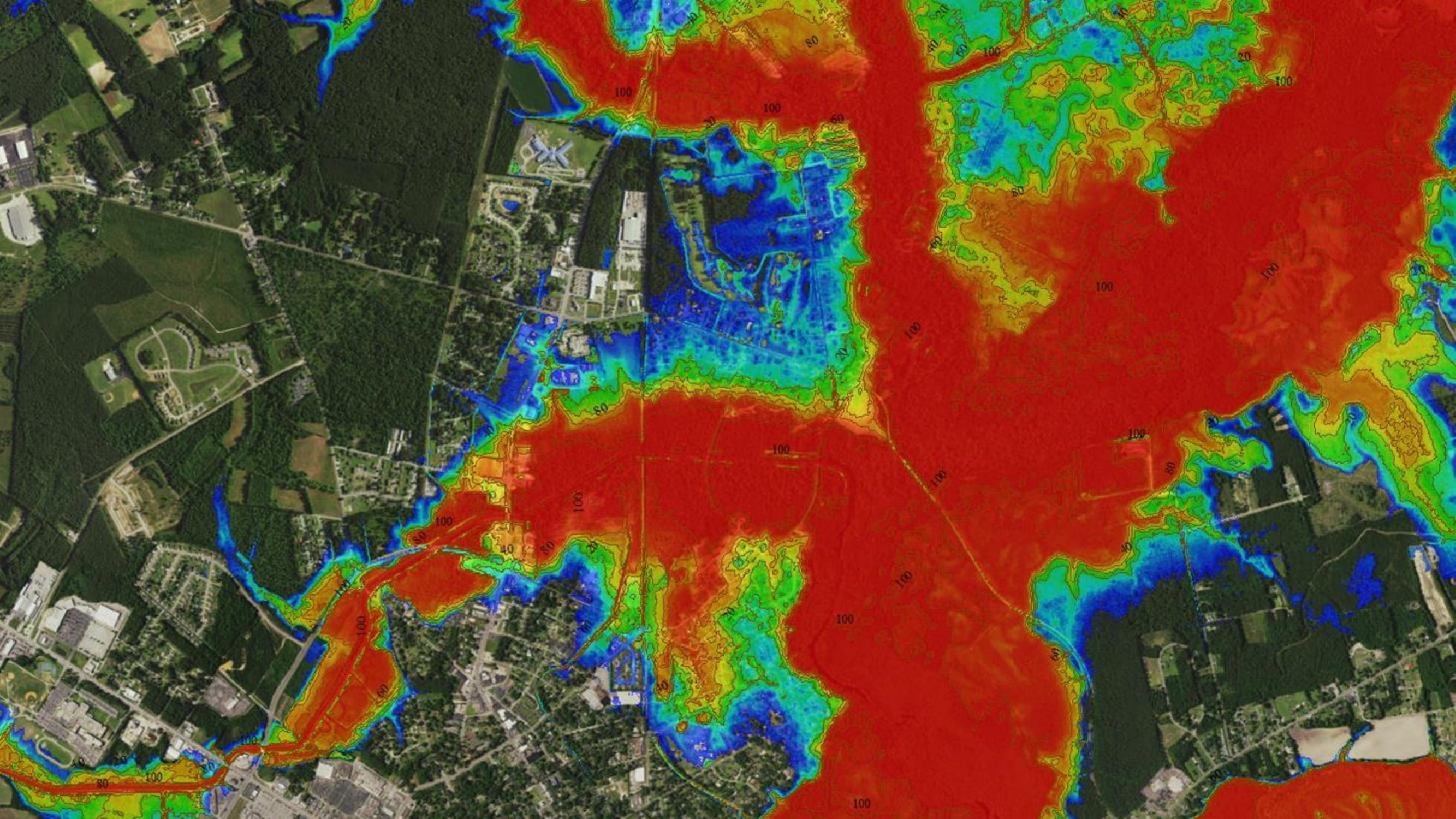
Geoscience Consultants has developed custom Hindcasted Flooding, Risk, and Land Cover maps and information for The Nature Conservancy to support an ongoing project in Horry and Georgetown Counties.
Georgia Climate Research Roadmap Identifies Georgia’s Top 40 Climate Research Questions
The Georgia Chapter of TNC help to identify the states top climate research questions through a state-wide collaborative effort called the Georgia Climate Research Roadmap.
Keeping Sediment in the System to Protect New Jersey’s Coast
The New Jersey Chapter of TNC rolled out a new mapping tool to help practitioners and local stakeholders explore the potential need for restoration among Atlantic coast back-bay salt marshes.
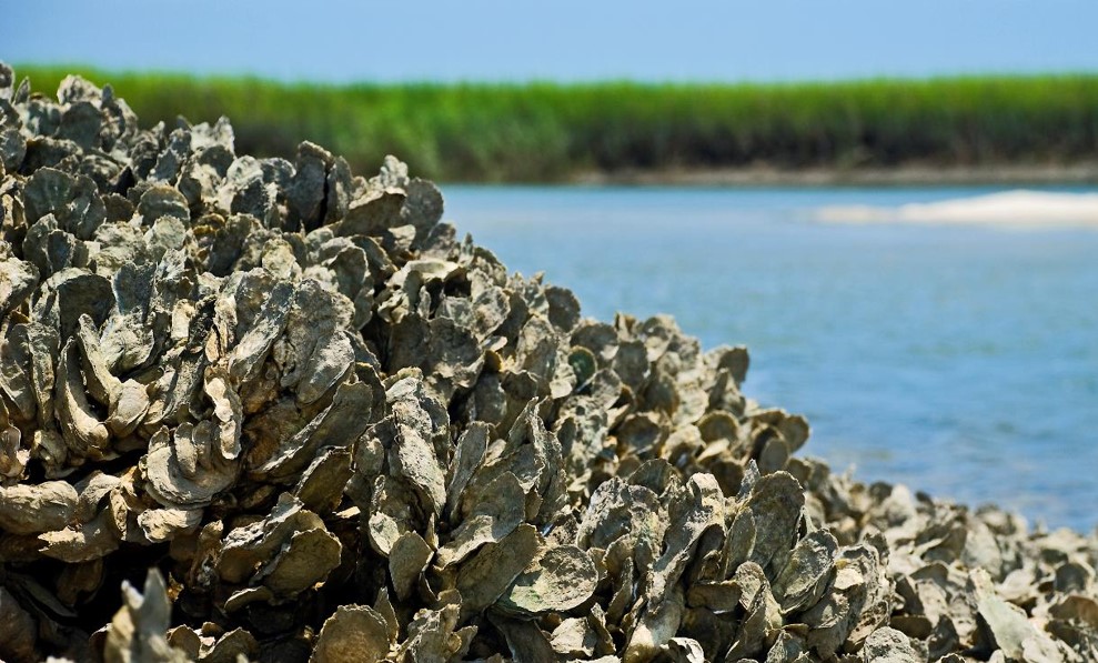
Protecting North Carolina’s Coast with Oyster Reefs
To protect North Carolina’s coast by ensuring thriving ecosystems and economies, our TNC scientists have been working with university partners to evaluate oyster habitat for restoration potential.
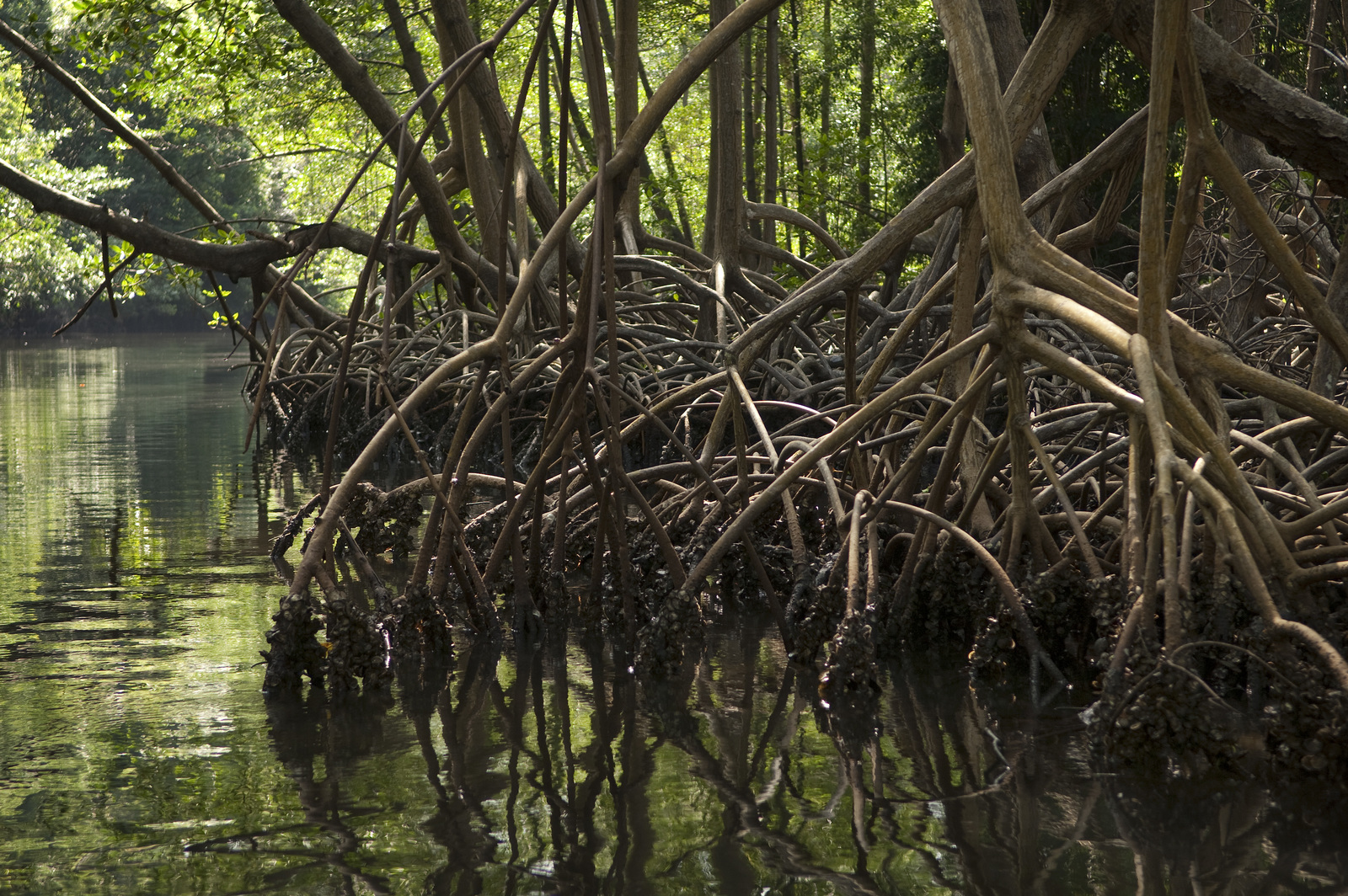
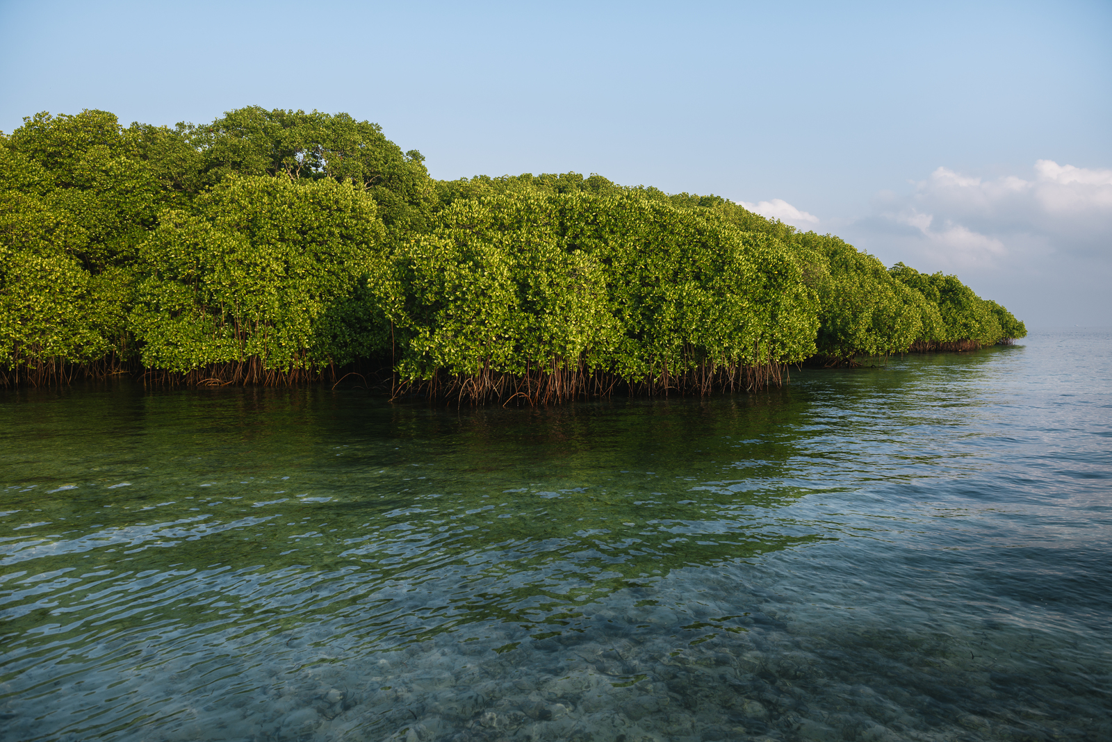
The Global Value of Mangroves for Risk Reduction
TNC scientists and partners at the University of Cantabria have produced a ranking of countries that receive the greatest risk reduction benefits from mangroves, relative to their vulnerability.
Virginia Eastern Shore Future Habitat App Updated
The Future Habitat app, which shows how the size and distribution of tidal marshes and other coastal habitats may change in response to future projected sea-level rise scenarios on Virginia’s Eastern Shore, has been updated.
Cloud Computing and AI Help The Nature Conservancy Dive Deeper into Conservation
A long-term partnership with Microsoft empowered The Nature Conservancy to use an innovative approach that combined traditional, academic research with big data, artificial intelligence (AI) and social media inputs to map, in high resolution, the full value of coral reefs to tourism, highlighting the incentive for sustainable reef management.
A Symbiotic Relationship of Community Resiliency: Red Cross and TNC
In the coastal city of Semarang, Indonesia, we’re harvesting Twitter data to better inform local disaster managers of where floods are happening and how to use nature to minimize damages.