Georgia
The Nature Conservancy and partners are working in coastal Georgia to identify ways to reduce the risk of coastal hazards to its residents using natural infrastructure, living shorelines, and protected wetlands and floodplains. Together, entire barrier islands and thousands of acres of saltmarsh and coastal floodplain have been placed into protection. Since implementing some of the first successful living shoreline pilot projects in Georgia, we are using those pilot sites to promote the use of oyster and saltmarsh habitat instead of seawalls. Our historic and current efforts with land protection in the Altamaha River Basin have enabled a more resilient coastal floodplain. In Camden County, Georgia, we are addressing community vulnerability and risk of flooding through Flood Risk Awareness and Decision Support Tools.
Overview

Many Georgia residents, such as this crabber, rely on the health of the coast for their livelihoods. © Erika Nortemann/TNC
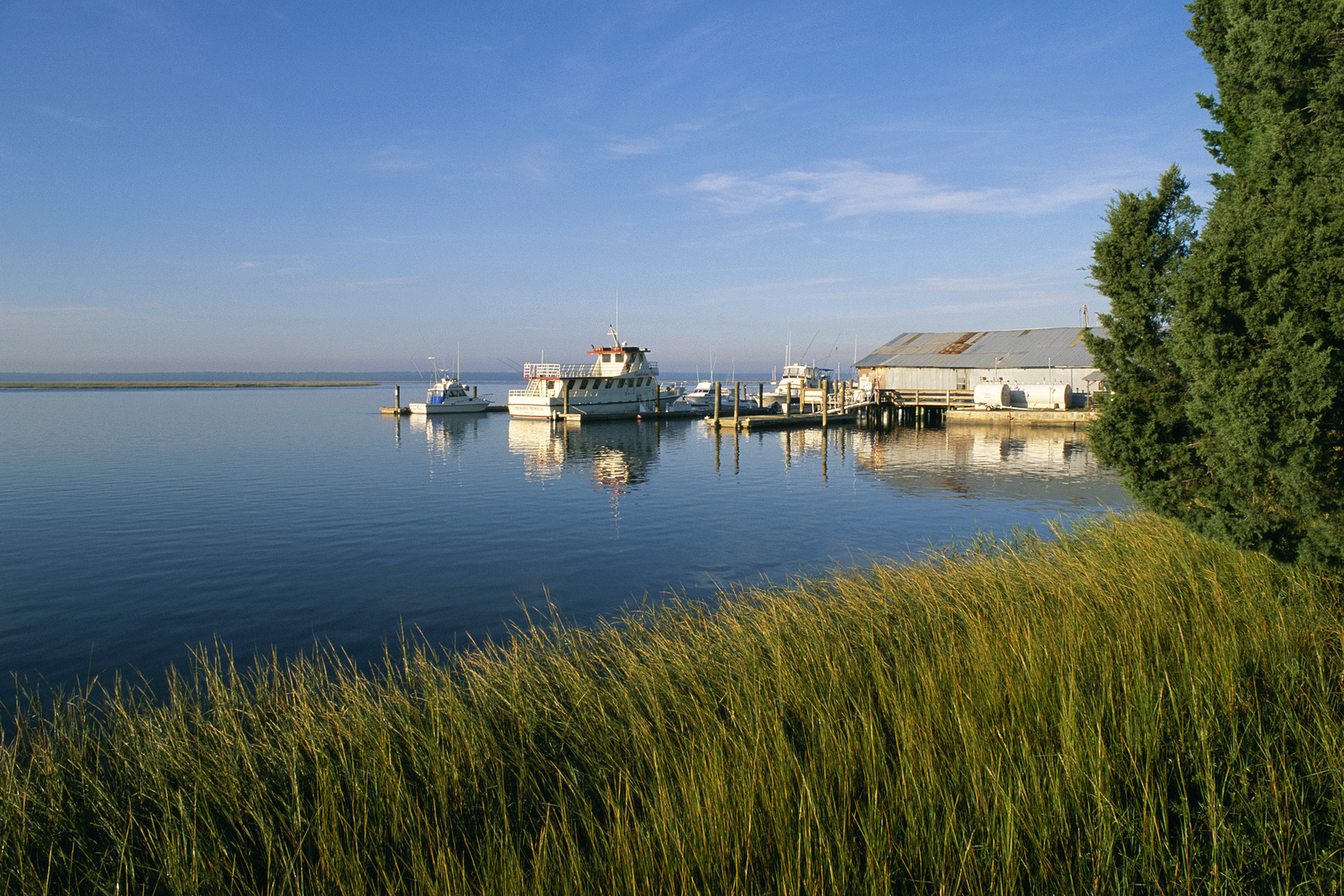
Claiming a total land area of 5,863 square miles, the population of coastal Georgia is the fastest growing region of any in the state, outside of metropolitan Atlanta. It is home to the historic city of Savannah and three other coastal urban centers. These coastal economies are driven by the two ports (Port of Brunswick and Port of Savannah, which is the fastest growing port in the nation), three military bases, and tourism. However, Georgia’s coastal region is also experiencing increasing risks due to flooding, storms and sea level rise. Sea levels have increased 3mm/year over the past 70 years and are predicted to rise at least 8 inches and as much as 6.6 feet by year 2100. Reported insured losses to coastal Georgia after Hurricane Matthew’s 2016 landfall were $90 million. Rates of residential and infrastructure development along coastal Georgia’s waterways have increased significantly, resulting in more risk to people and property within both urban and rural areas.
Camden County
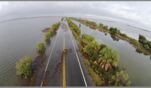
A primarily rural coastal Georgia area, Camden county is home to approximately 50,000 people. Its population is expected to grow 26% in the next 20 years, more than any other county along Georgia’s coast. Rising sea levels and increased coastal flooding events will inevitably make these human communities more vulnerable, including the 35% of the county’s population already living within the floodplain. Land use planning and flood risk education steers development infrastructure investments away from flood-prone areas to protect both residents and their properties.
Living Shorelines

Intertidal oysters on Little St. Simons Island. ©Blake Gordon Photography
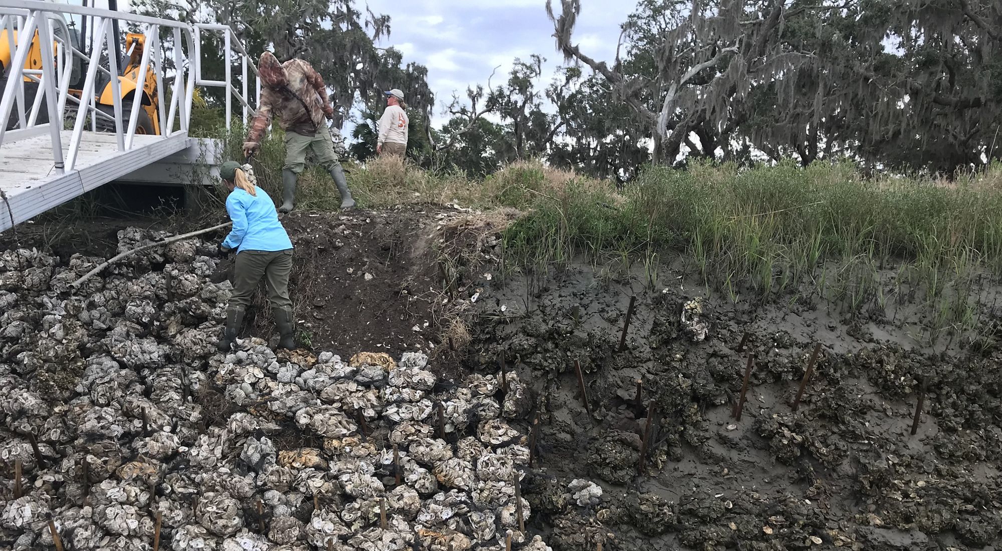
Within coastal Georgia’s low-lying, 100-mile shoreline resides approximately 1/3 of the total salt marsh on the east coast, which also includes a strong presence of oysters. In Georgia, both salt marsh and oyster habitat are being protected and restored for their roles in reducing coastal hazards. As a natural approach to addressing coastal erosion, salt marsh and oyster reef living shorelines are alternatives to traditional hardened structures, such as seawalls or bulkheads. Through partnerships in action, several living shoreline demonstration projects have been constructed using salt marsh and oyster reefs, including one on Sapelo Island and another on Little St. Simons Island. As two of the first successful living shoreline restoration projects in Georgia, these sites serve as educational examples to state and local governments and private citizens of the benefits of using natural over traditional grey infrastructure.
Habitat Preservation

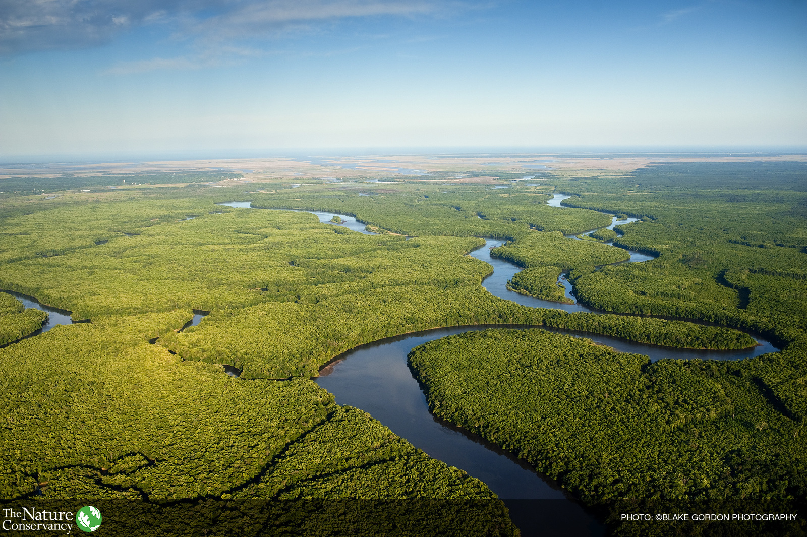
The Altamaha River and its expansive and protected floodplain meanders to the Atlantic Ocean.
Photo credit: ©Blake Gordon Photography
The conservation of land and water within the greater coastal Georgia region is an important strategy to help build resilient communities by protecting areas that dissipate floodwaters, absorb storm surge and wave energy, and allow migration of vegetation and important species as sea level rises. Coastal Georgia’s low-lying floodplain system has the capacity to manage coastal hazards naturally. TNC has protected more than 160,000 acres and 50 river miles of the lower Altamaha River Basin, the second largest river basin on the east coast. This expansive floodplain continues to provide critical ecological services to the surrounding communities by buffering the impacts of storm surge, riverine flooding and sea level rise while providing critical wildlife habitat to the diverse species that call it home.
Community Planning
Local planning and actions will include educating residents about the potential for current and future flooding inundation, sources of flooding, and proactive measures for reducing the danger of safety and property. Camden County, Georgia is home to 3 coastal rivers, and their associated wetlands and floodplains comprise 200,000 acres, or approximately 50% of the county’s land area. TNC and its partners are addressing where people and infrastructure within the community are vulnerable to flooding with a Flood Risk Awareness Decision Support Tool. Finding solutions for coastal hazards involves using creative online support tools that help identify nature’s role in protecting humans from coastal disasters. We are currently in the process of developing several online tools for use in Camden County for both the residents and county planners.
Our team has developed an online tool with several goals.
- Inform the local public of their flooding risk and actions they can take to reduce risk.
- Assist decision makers with their planning efforts to encourage smart growth.

The Coastal Hwy 17 ‘Blue Bridge’ crosses just feet above the blackwater St. Marys River in Camden County.
Georgia Coastal Resilience Partners
Community Planning
- Camden County, GA
- Coastal Regional Commission of Georgia
- Department of Natural Resources Coastal Resources Division
- The City of St. Marys, GA
- University of Georgia Marine Extension Service & Georgia Sea Grant
Living Shorelines
Flood Risk and Community Planning Tools
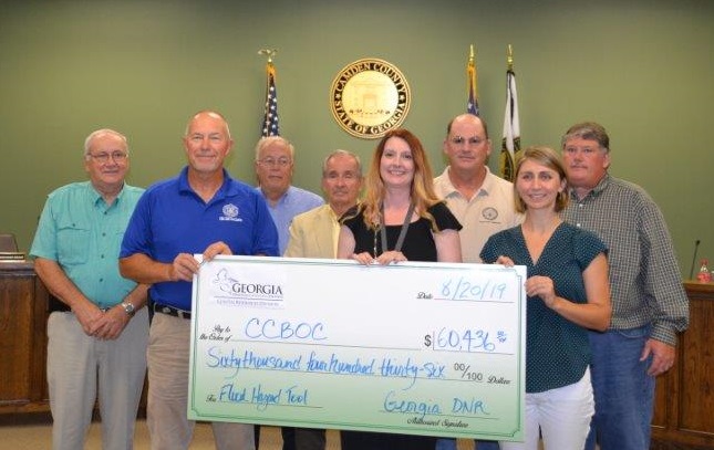
In collaboration with Camden County, The Nature Conservancy has developed several online tools to help residents and county planners better understand flood risks and coastal hazards.
The Flood Risk App allows users to search for specific addresses or parcels within Camden County. The resident can then layer flood hazard data, such as Sea Level Rise, Storm Surge, or FEMA Flood Zones, to show a personalized impact of current and future potential flood risks. The Community Planning App can be used independently, or simultaneously with the Flood Risk App. It shows users localized community planning data, such as critical infrastructure and land use zoning, to help make informed decisions regarding flood risk.
Both apps can be found at https://maps.coastalresilience.org/georgia/
There is also a mobile friendly version of the apps at https://maps.coastalresilience.org/gaflood/
For more information about the Flood Risk and Community Planning Apps please visit these resources:
Interactive ArcGIS Story Map
Purpose: General overview of the Flood Risk & Community Planning apps for non-technical audiences.
Flood & Sea Level Rise FAQ Video
Purpose: Quick video for non-technical audiences describing how the Flood and Sea Level Rise tool can be used to answer frequently asked questions around coastal flooding.
Georgia Flood & Sea Level Rise Mobile App Tutorial Video
Purpose: Brief tutorial video for audiences with smart phones that walks users through how to use the Flood & Sea Level Rise mobile app.
Georgia Flood & Sea Level Rise Desktop Tutorial Video
Purpose: In-depth tutorial video that walks novice to technical audiences through how to use the Flood & Sea Level Rise desktop version for decision support and planning.
Resources
For the latest reports, publications and other resources on coastal resilience visit the Coastal Resilience Resource Library on the Conservation Gateway.
Coastal Resilience Resource Library
Association of State Floodplain Managers
Georgia’s Tybee Island Sea Level Rise Adaptation Plan
UGA Marine Extension and Georgia Sea Grant Assists Local Communities Prepare for Sea Level Rise

