by Coastal Resilience | Jun 4, 2018
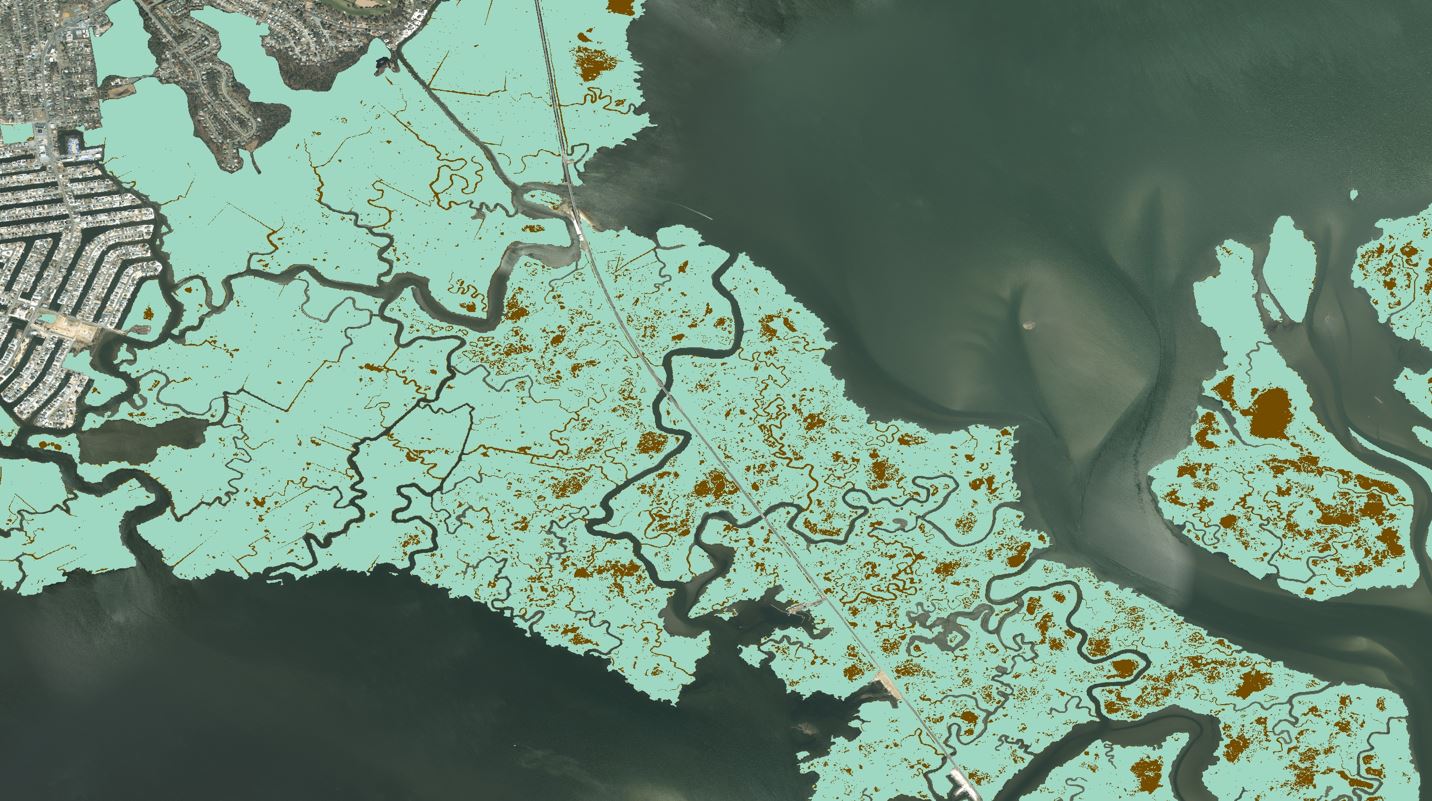
The Marsh Explorer analyzes and ranks the restoration potential of New Jersey’s Atlantic coast back-bay marshes based on the amount and size of linear ditching, marsh edge erosion, unvegetated marsh, and unused dredged lagoons.
This app is being used in New York, Connecticut, and New Jersey.
Read More.
by Coastal Resilience | May 11, 2018
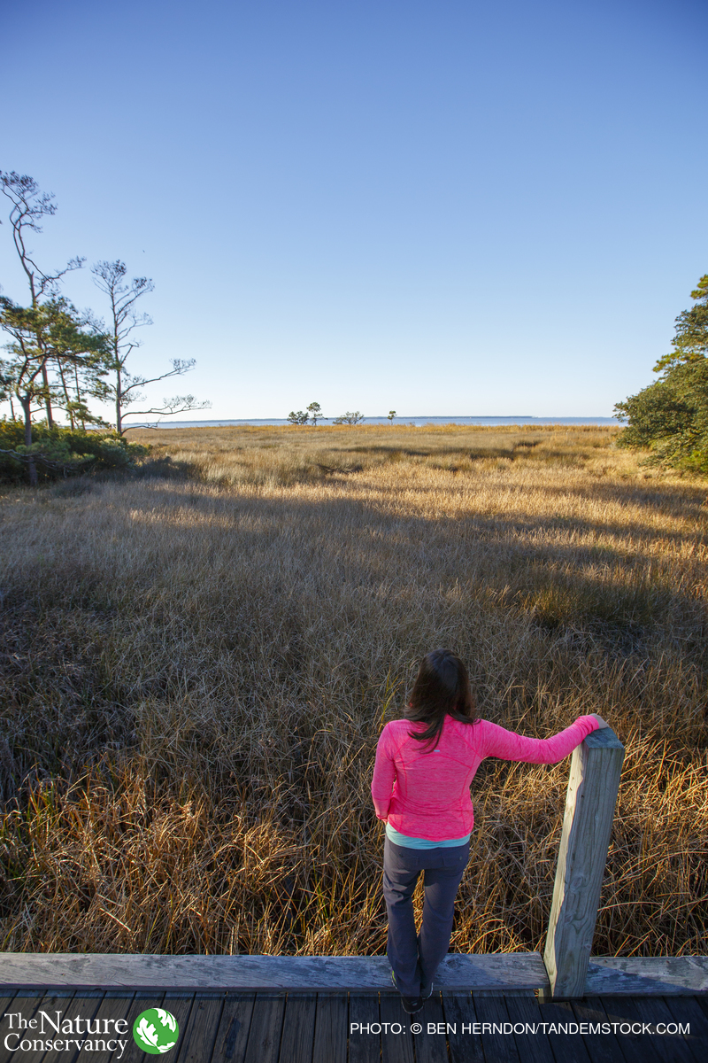
Coastal areas provide critical habitat for wildlife and are home to more than 40 percent of the U.S. population. Yet coastal sites vary widely in their ability to accommodate rising seas, based on inherent natural features and the degree of human influence on key ecological processes. Scientists from TNC evaluated over 10,000 coastal sites in the Northeast and Mid-Atlantic for their capacity to sustain biodiversity and natural services under increasing inundation from sea level rise.
by Coastal Resilience | Nov 29, 2017
In collaboration with FloodTags, Peta Bencana, Wetlands International, Deltares, Esri, Microsoft, and GDPC, TNC has led the development of the geospatial framework for Resilient Coastal Cities.
Read More
by Coastal Resilience | Nov 9, 2017
Restoration of marine habitats in the Peel region of Western Australia begins with education, outreach and data collection in order to visualize and prioritize efforts to protect valuable mangroves, salt marches, seagrasses, and shellfish reefs.
by Coastal Resilience | Nov 9, 2017
The Nature Conservancy has recently partnered with governments, community groups and the private sector to investigate nature-based solutions to coastal risk reduction and climate change adaptation in Port Phillip Bay.
