• Twitter
  • RSS
  • Contact Us
Coastal Resilience
  • About
    • Ten Years of Coastal Resilience
    • Team and Partners
    • Terms of Use
  • Natural Solutions
    • Approach
      • Assess
      • Identify
      • Action
      • Measure
    • Toolkit
  • Collaborations
    • Accounting for Nature
    • AI for Conservation
    • Nature and Insurance
    • Open Space
    • Nature in Humanitarian Cycle
  • Projects
    • Australia
      • Victoria
      • Western Australia
    • Caribbean
      • República Dominicana
      • Grenada and St Vincent and the Grenadines
        • At the Waters Edge
        • Grenada Resilient Islands
      • Jamaica
      • Resilient Islands
      • U.S. Virgin Islands
    • Indonesia
    • United States
      • California
        • California Coastal Resilience Network
      • Connecticut
      • Georgia
      • Gulf of Mexico
      • Hawaii
      • Maine
      • New Jersey
      • New York
      • North Carolina
      • Northeast and Mid-Atlantic
      • Southeast Florida and the Florida Keys
      • Southeast U.S.
      • South Carolina
      • Virginia Eastern Shore
      • Washington
        • Puget Sound
        • Southwest Washington
    • Mexico and Central America
  • Tools
    • Apps
    • Training
  • Resources
    • Stories and News
    • Research Library
    • Related Projects
    • Fact Sheets
    • FAQs
  • Mapping Portal
Select Page
Coastal Resilience Work Receives Geospatial Excellence Award

Coastal Resilience Work Receives Geospatial Excellence Award

by Morgan Chow | Jan 19, 2018 | Geospatial Technology, Story

The ambitious portfolio of work within the TNC-Microsoft partnership is part of the reason that Coastal Resilience was awarded this year’s Geospatial World Excellence Award for its state-of-the-art mapping technology.

App Offers Guidance on Living Shorelines

App Offers Guidance on Living Shorelines

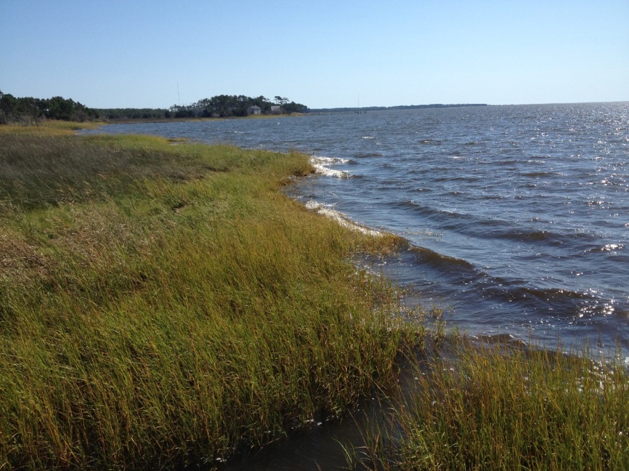
by Morgan Chow | Jan 19, 2018 | North Carolina, Story

The Living Shoreline app is helping homeowners, engineers, and the regulatory community identify where wave energy conditions are best suited to use a living shoreline for erosion control in in several counties in North Carolina.

Access Open Space to Lower Flood Insurance Cost

Access Open Space to Lower Flood Insurance Cost

by Morgan Chow | Jan 17, 2018 | Open Space, Story

Esri and TNC share the story of planners in a South Carolina community that are taking steps to help homeowners save an estimated $128 each on their flood insurance, as part of the Community Rating System, in a newly developed Esri Learn Lesson.

A Suite of Community Rating System Resources

A Suite of Community Rating System Resources

by Morgan Chow | Jan 17, 2018 | Open Space, Story

TNC is excited to announce the launch of a suite of new products developed with Esri to help communities reduce their flood risk, make flood insurance more affordable, and increase their resilience through FEMA’s Community Rating System (CRS).

Coastal Resilience Honored for State-of-the-Art Mapping Technology

Coastal Resilience Honored for State-of-the-Art Mapping Technology

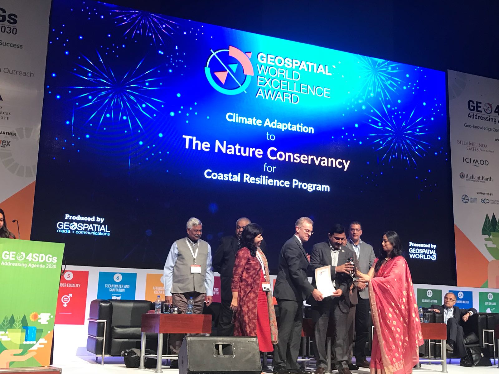
by Morgan Chow | Jan 17, 2018 | 10YR, Geospatial Technology, Story

Coastal Resilience receives the the Geospatial World Excellence Award at the 2018 Geospatial World Forum in Hyderabad, India.

High-Tech Tools Help Ramp up Conservation and Green Insfrastructure

High-Tech Tools Help Ramp up Conservation and Green Insfrastructure

by Morgan Chow | Jan 4, 2018 | Geospatial Technology, Story

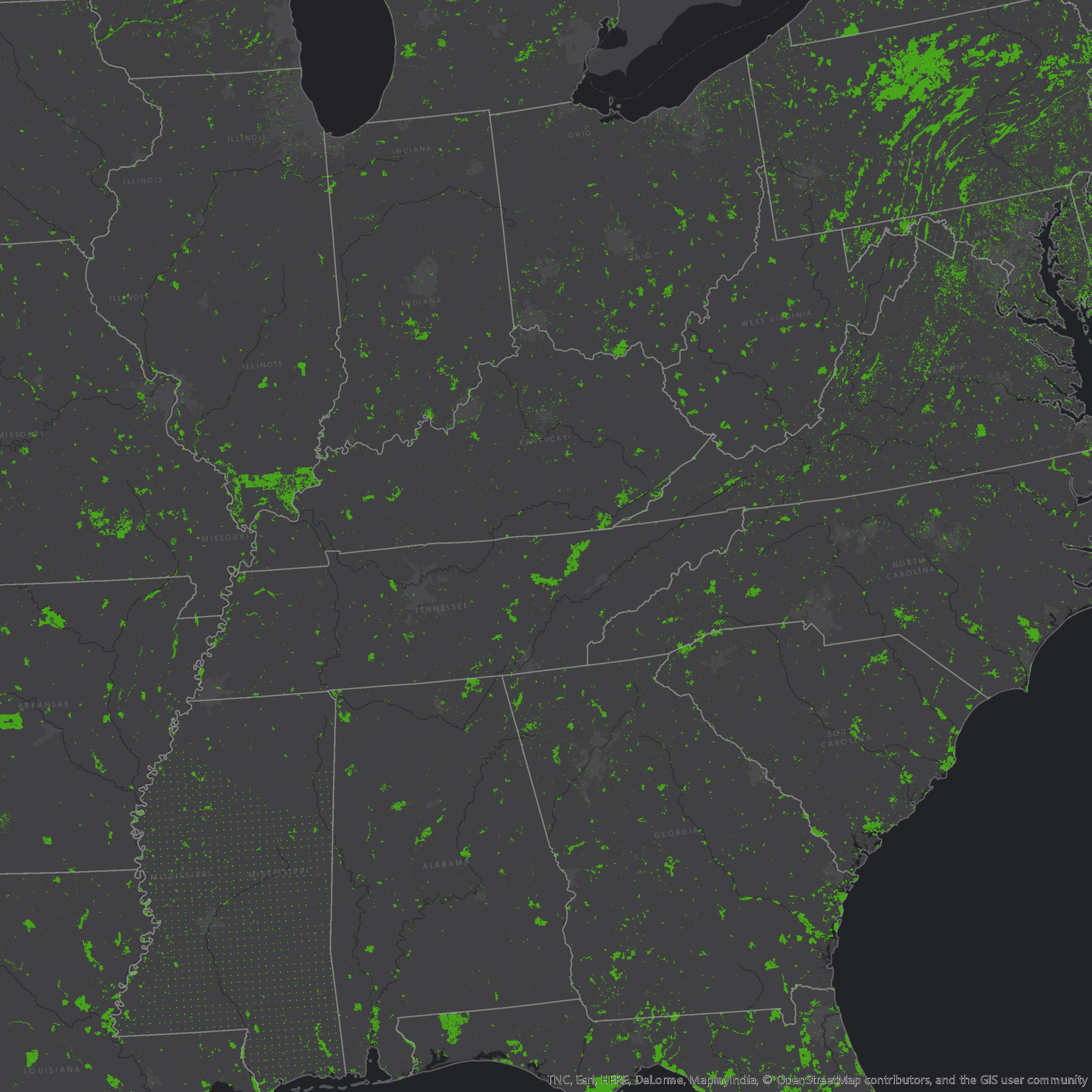
Microsoft’s AI model accelerates TNC’s conservation work by enabling communities to pinpoint the most effective green infrastructure options in minutes.

« Older Entries
Next Entries »

About Coastal Resilience

Coastal Resilience is a global network of practitioners who are applying an approach and web-based mapping tool designed to help communities understand their vulnerability from coastal hazards, reduce their risk and determine the value of nature-based solutions.

RSS Our Latest on Twitter

  • Twitter
  • RSS

nature.org© 2021 The Nature Conservancy | Terms of Use | Privacy Statement