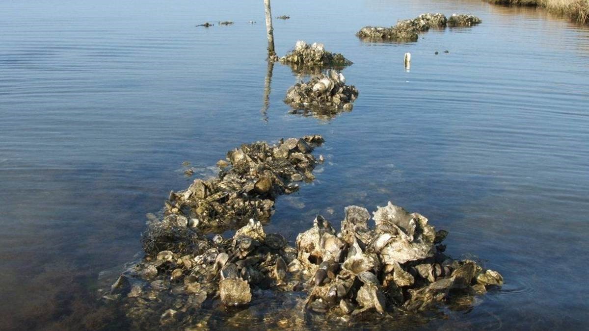
Restoration Explorer focuses on oysters
The Nature Conservancy has expanded its efforts to restore oysters by incorporating new data into a computer application that helps coastal managers map areas that are suitable for oyster reef restoration.

The Nature Conservancy has expanded its efforts to restore oysters by incorporating new data into a computer application that helps coastal managers map areas that are suitable for oyster reef restoration.
Digital Coast partners teamed up with Climate Central to share their progress on the development of tools and resources to help communities increase their Community Rating System (CRS) credits at Coastal GeoTools 2017.
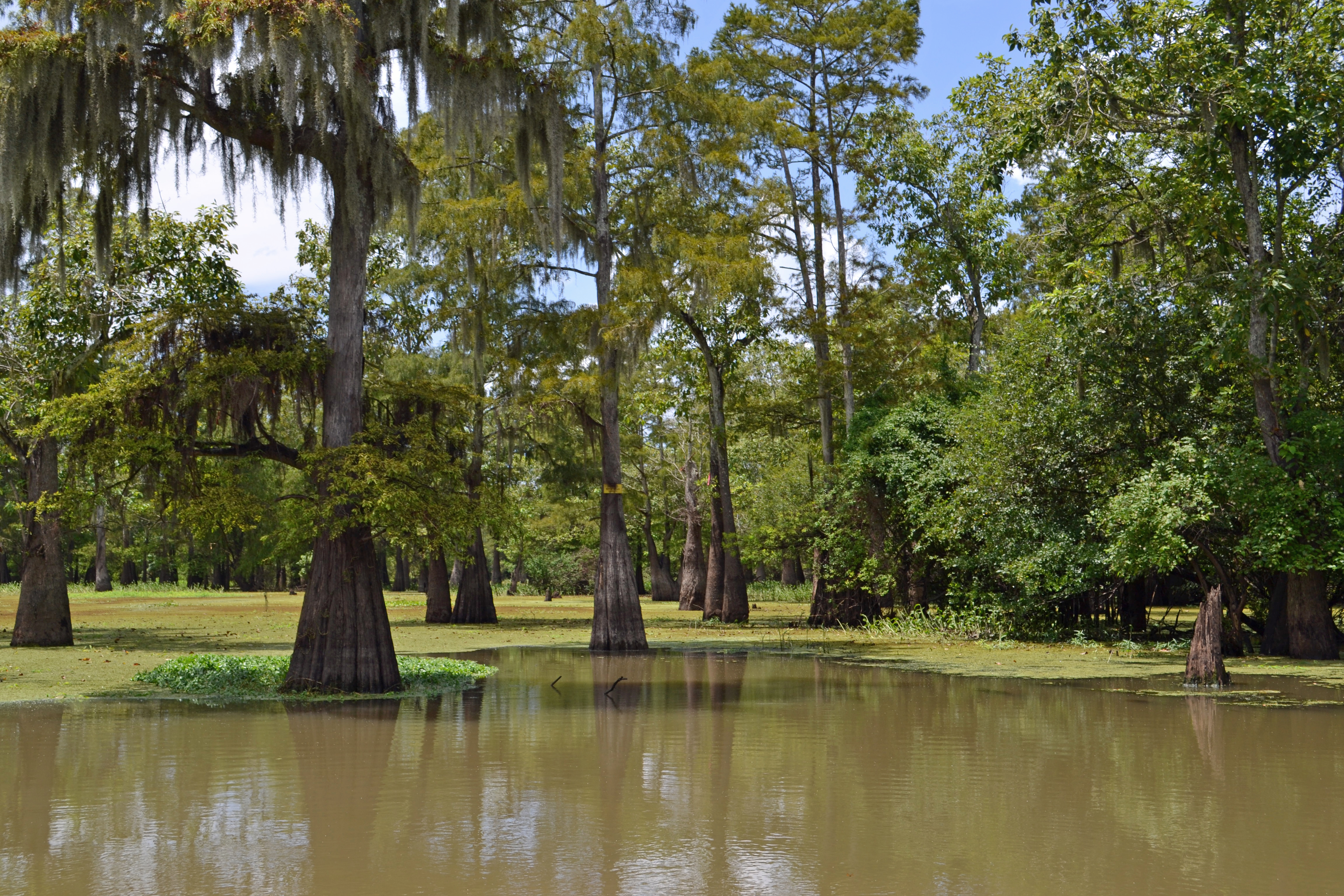
The Baton Rouge Area Foundation supported the development of tools to protect freshwater and coastal resources in Louisiana and Mississippi after the 2010 Gulf oil spill. The OysterFlows app generates projections about how proposed water projects will impact oyster habitat. Read more about the project on page 23 of Currents magazine.
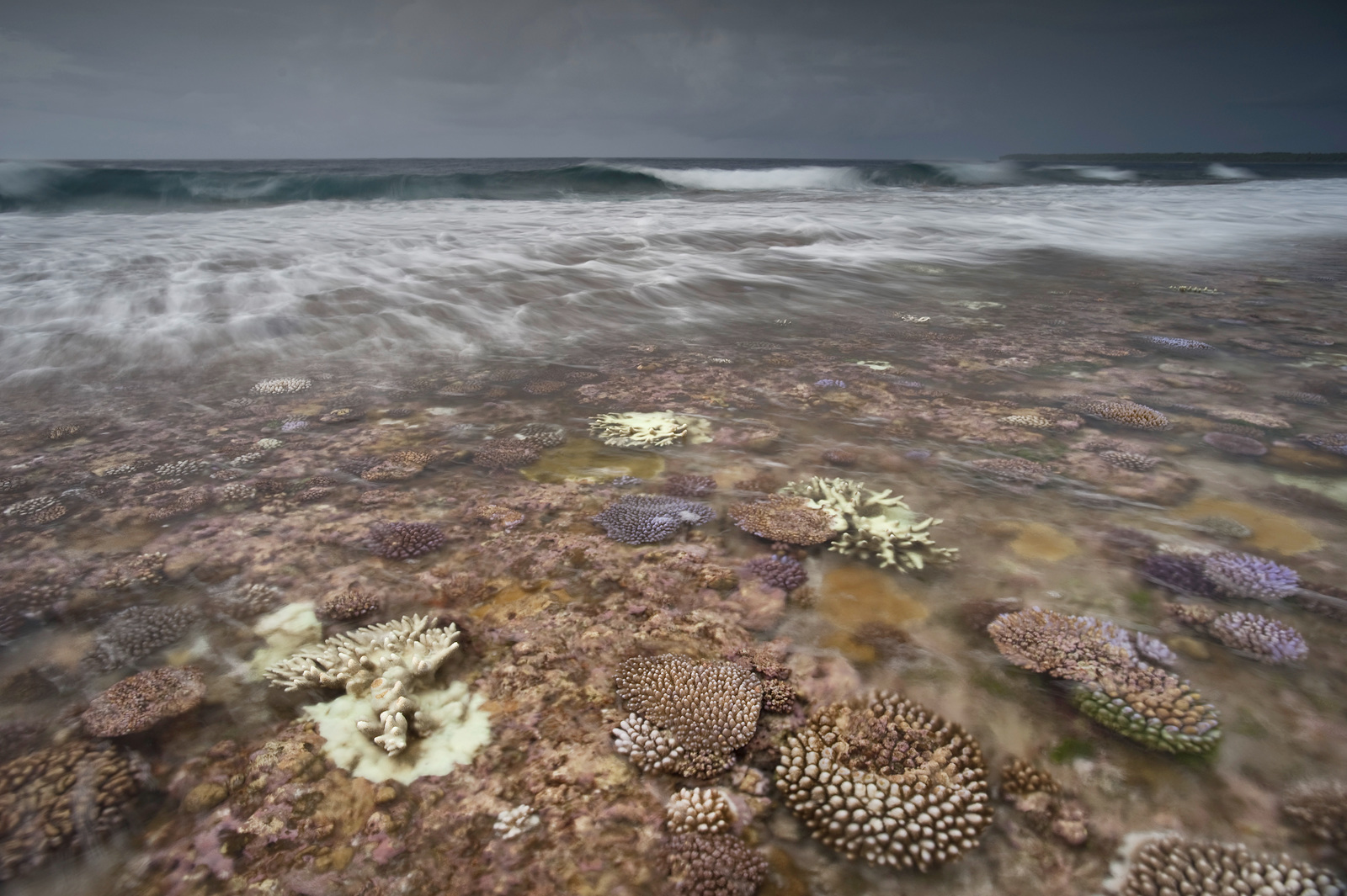
TNC and the World Bank partnered with the government of the Philippines to pilot the WAVES guidelines, created to show how mangroves and coral reefs can be measured and valued for national economic accounts.
TNC and its partners in the insurance industry and academia released a study that uses high resolution risk industry models and assets data to value the role of wetlands in coastal defense. The results show that natural storm defenses such as coastal wetlands help reduce waves and storm surge, protecting people and property.