Esri CityEngine
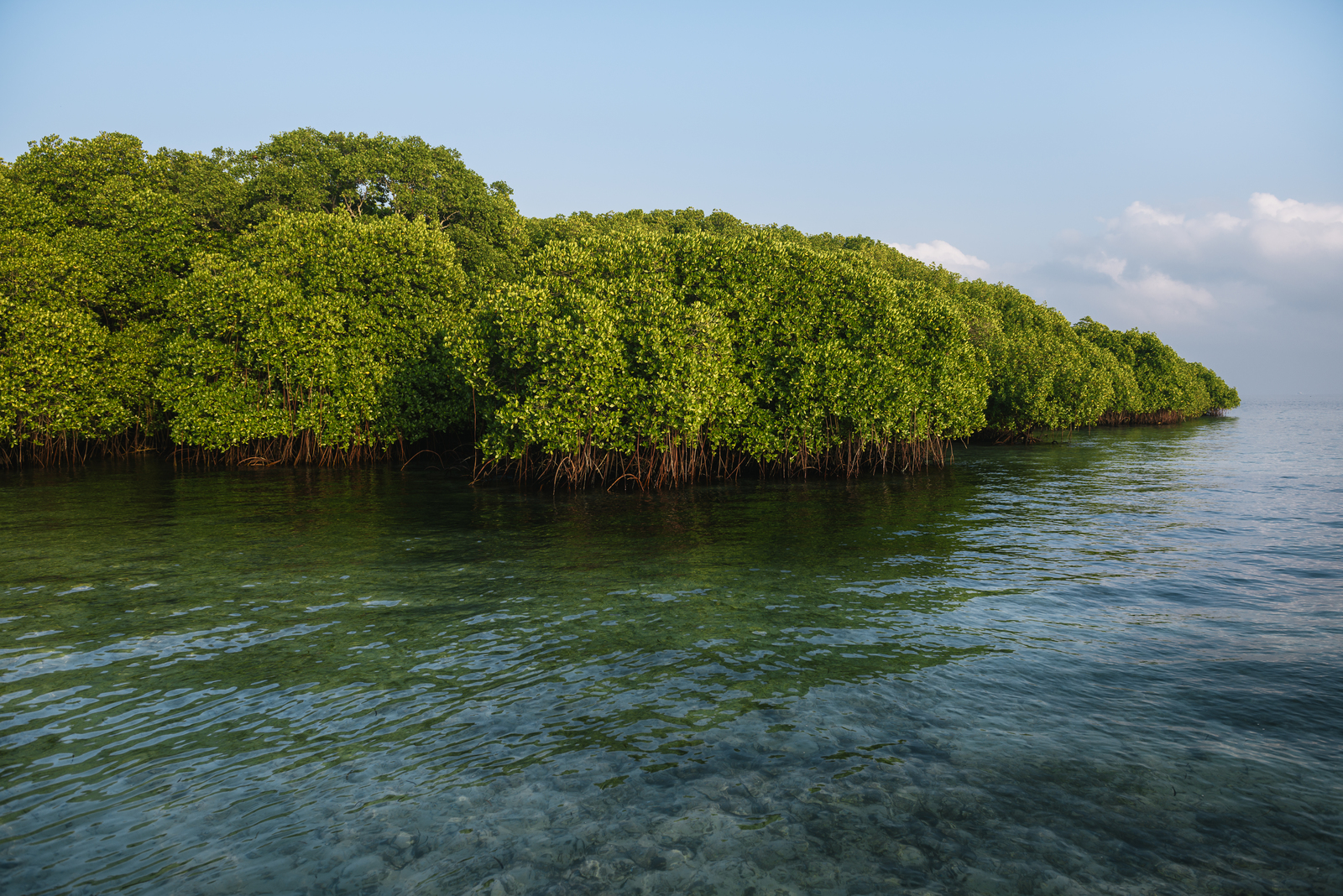
As part of the Resilient Coastal Cities Project, Esri’s CityEngine will be used to simulate the potential impacts of various landscape-scale mangrove restoration scenarios in 3-dimensional space.
Read More

As part of the Resilient Coastal Cities Project, Esri’s CityEngine will be used to simulate the potential impacts of various landscape-scale mangrove restoration scenarios in 3-dimensional space.
Read More
In collaboration with FloodTags, Peta Bencana, Wetlands International, Deltares, Esri, Microsoft, and GDPC, TNC has led the development of the geospatial framework for Resilient Coastal Cities.
Read More
FloodTags was identified by the coalition as a useful tool that identifies and consumes large amounts of social media data where flood events are happening and the connection between upstream and downstream impacts.
Read More