
Identifying Living Shorelines for a Changing Coast
The Restoration Explorer is a web based mapping tool that allows communities and their partners to examine what types of living shorelines are most appropriate for a particular location. Utilizing the Restoration Explorer during the initial steps of developing a shoreline stabilization project can help communities identify where greener options are applicable – allowing them to respond to shoreline erosion while maintaining and/or enhancing the health of coastal habitats.
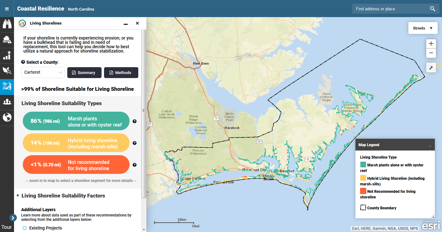
Living Shoreline Explorer
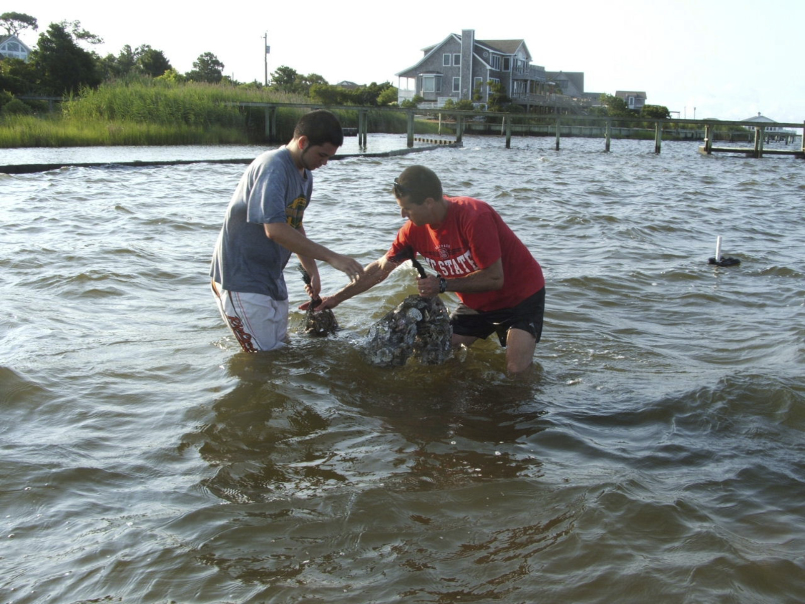
This tool identifies shorelines with low enough wave energy to support the use of living shoreline approaches for erosion control to stabilize your coastline, and it provides design guidance for these types of projects based on site-specific wave energy characteristics.
This app is being used in Australia, New York, New Jersey, and North Carolina.
Read More.
South Carolina
South Carolina coastal communities are facing more frequent flooding from sea level rise and storm events. In response, they are identifying ways to visualize and reduce risk to their communities using natural infrastructure like coastal wetlands, beaches and dunes, living shorelines, and river floodplains.
Northeast and Mid-Atlantic
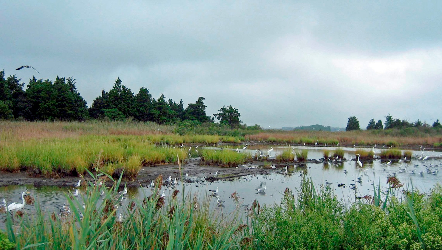
Coastal areas provide critical habitat for wildlife and are home to more than 40 percent of the U.S. population. Yet coastal sites vary widely in their ability to accommodate rising seas, based on inherent natural features and the degree of human influence on key ecological processes. Scientists from TNC evaluated over 10,000 coastal sites in the Northeast and Mid-Atlantic for their capacity to sustain biodiversity and natural services under increasing inundation from sea level rise.