
AI for Conservation
Collaboration with Microsoft
Collaborating with Microsoft to optimize AI and Azure capabilities
The Nature Conservancy is partnering with Microsoft to address the world’s most pressing issues in ocean, coastal, floodplain, and watershed environments through the expansion of The Nature Conservancy’s Natural Solutions Toolkit. The Toolkit represents the Conservancy’s largest suite of geospatial tools and web applications for climate adaptation and resilience planning, and Microsoft has committed to support this technology on their Azure cloud platform to scale the Conservancy’s conservation impact through Artificial Intelligence (AI).
The goals of the collaboration include:
- Evolving Coastal Resilience and Natural Solution Toolkit projects on the Azure cloud by exploring AI capabilities to magnify conservation impacts and nature-based climate adaptation solutions
- Enabling the Conservancy to leverage the Data Science Virtual Machine (DVSM) as part of the Azure cloud architecture and support its geospatial expansion
- Enabling the Conservancy to maximize the value of the Azure migration
This collaboration builds on a long history of support and strategic collaboration between our two organizations. Microsoft has an environmental mission to empower people and organizations globally to thrive in a resource-constrained world. As technology and data science continue to evolve and AI capabilities enable huge advances in data-driven decision support tools, the Conservancy and Microsoft’s AI for Earth program are keen to leverage Azure-based AI and GIS to expose the value of nature-based solutions to key decision makers across governments, global entities, special interest groups, and the private sector.

The following initial three collaborative projects are applying these technologies to better inform conservation and climate adaptation decisions:
- Community Rating System (CRS): to enhance participation in the National Flood Insurance Program’s CRS program, this project will deploy and systematize an Esri ArcGIS model that inputs parcel-scale data (CRS Explorer App) and a Microsoft machine learning algorithm (to decipher land types) to identify current and future open space preservation credit opportunities that translate to reduced flood insurance rates.
- Geographic focus: North Carolina, Florida, South Carolina, and Louisiana
- Key audiences: county and local government, as well as coastal communities applying for CRS open space credits
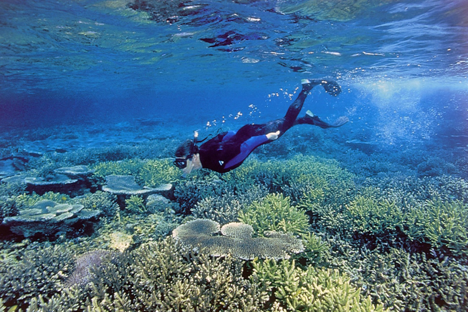
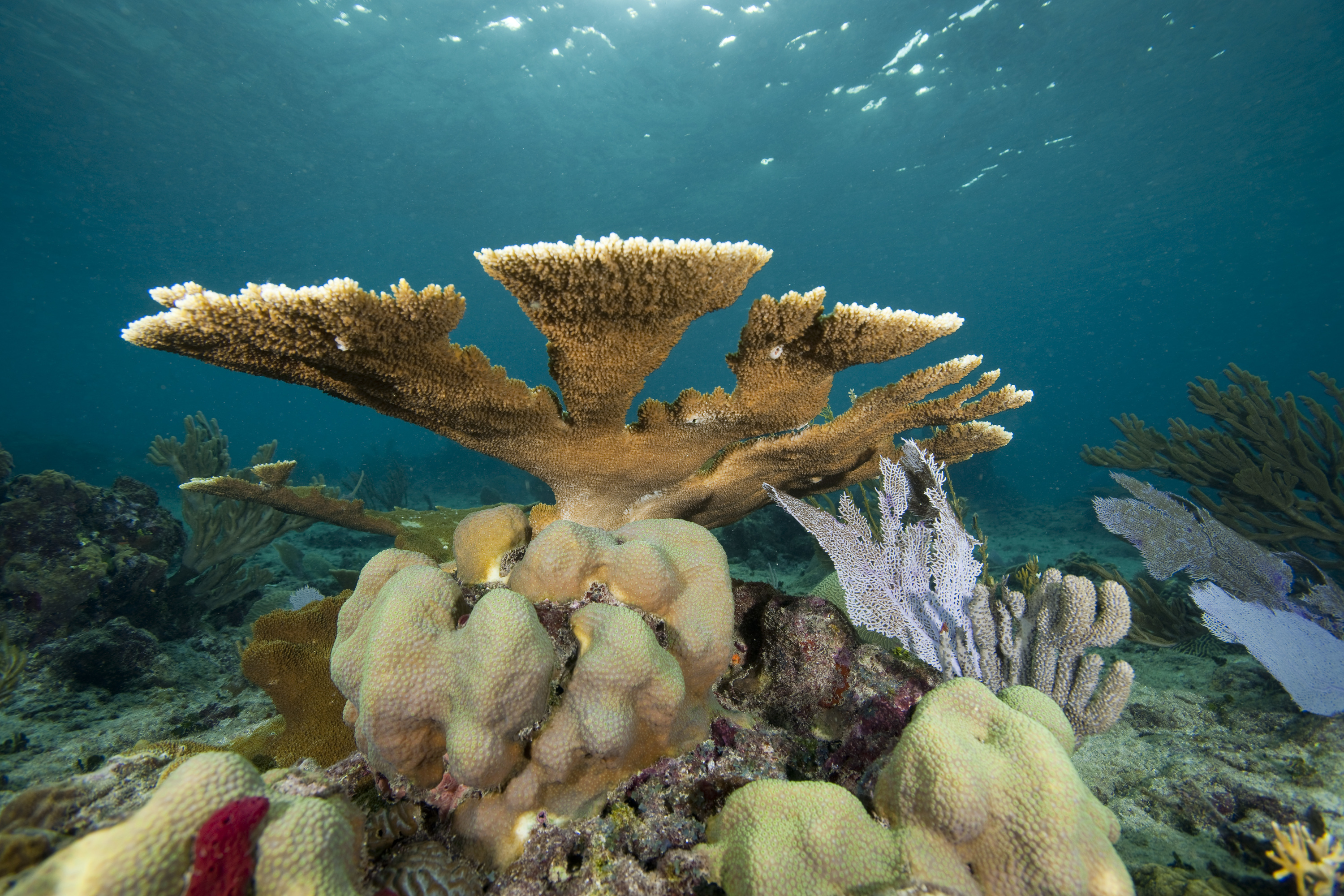
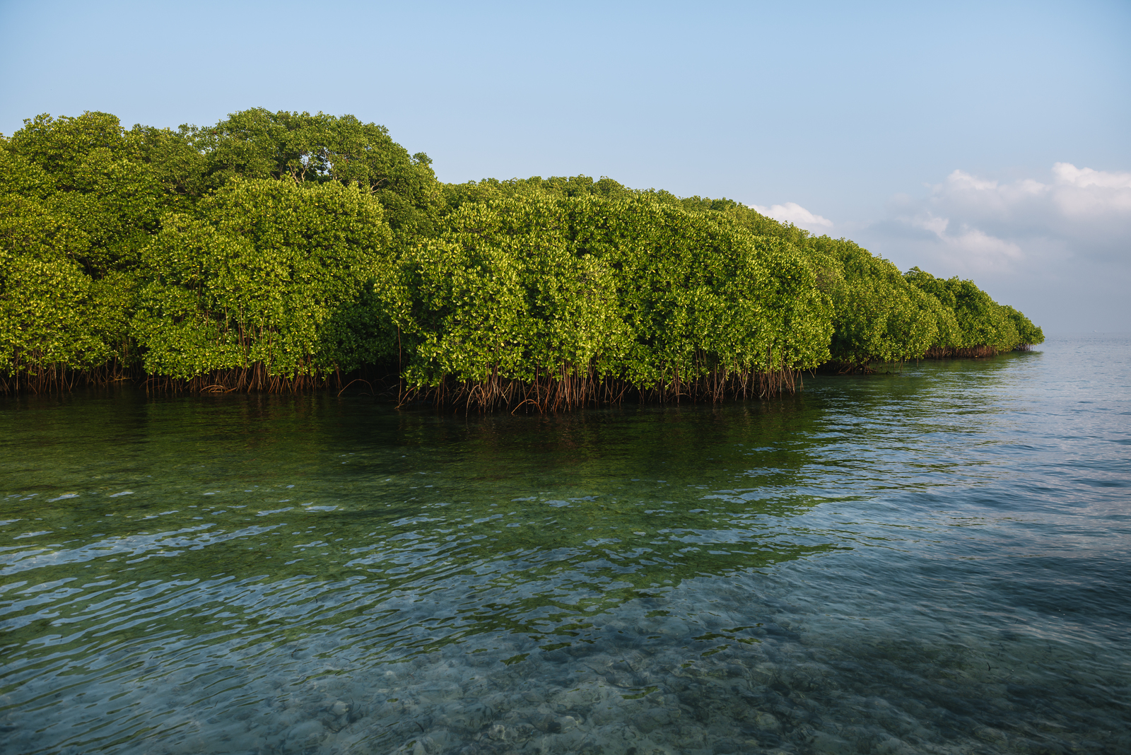
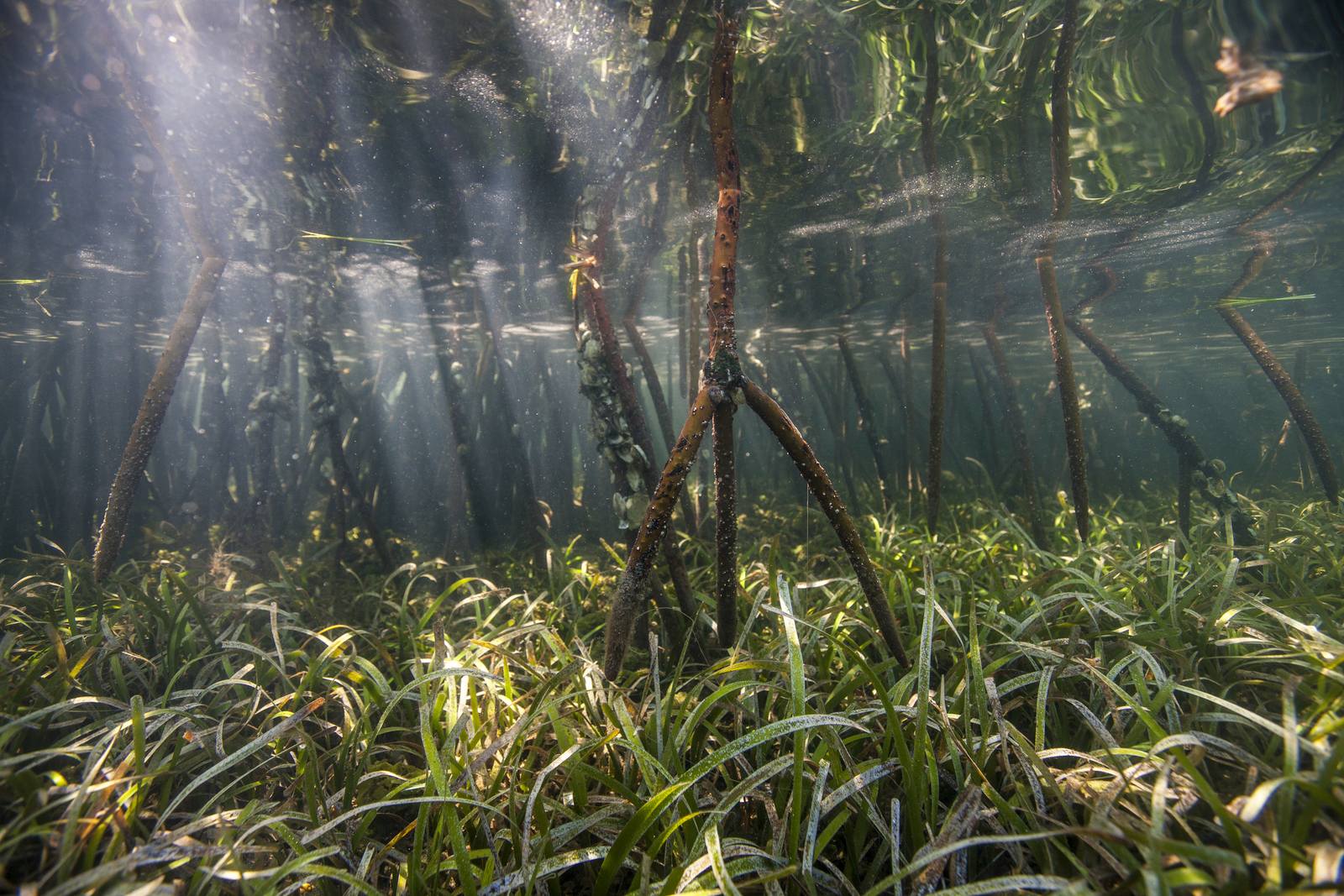
- Mapping Ocean Wealth: to enhance the ability of this global initiative to map ocean ecosystem services, with a focus on travel and tourism, this project will apply AI to the award-winning Recreation and Tourism web app to assess the spatial distribution and extent of travel to coral reef countries and calculate an economic value of tourism. This economic value of coral reefs is calculated by country through the harvesting and analysis of crowd-sourced data.
- Geographic focus: Micronesia and Caribbean countries and the U.S. state of Florida, with expansion to Haiti, Jamaica, Australia, and OECS countries
- Key audiences: World Travel & Tourism Council, the World Bank, and local tourism facilities (i.e., dive shops, hotels)
- Resilient Coastal Cities: as part of a new partnership with the Red Cross and Red Crescent Global Disaster Preparedness Center, the Conservancy is supporting the Red Cross Resilient Coastal Cities project in Southeast Asia to help identify ways that nature can build social and ecological resilience within disaster management. This project will create a dashboard and mobile app that incorporates social media data on flood location and magnitude with socioeconomic and ecological data for city planning and include mangrove restoration simulations to promote coastal adaptation in Semarang, Indonesia.
- Geographic focus: Geospatial framework and app development is designed to be replicated in other cities in Southeast Asia in the context of disaster preparedness, response and recovery planning
- Key audiences: local Red Cross/Red Crescent Society, Chief Resilient Officers, city planners, and non-governmental entities
Following an initial pilot phase of these three initial projects, we intend to scale opportunities for adoption and explore and identify other emerging natural solutions projects that can be enhanced by AI and Azure cloud technologies.
“Technology accelerates everything it is applied to. It therefore holds the promise to accelerate conservation solutions so that they scale to global environmental challenges. Developing on Azure is a great opportunity for the Conservancy to advance our geospatial decision support tools and web apps that can catalyze conservation and climate adaptation efforts across land and sea.” – Zach Ferdaña, Senior Program Manager at The Nature Conservancy.
The official launch of the collaboration can be seen in our press release, and a Microsoft blog about this new venture in celebration of Earth Day 2017.
To learn more about the evolving partnership, read this article by Geek Wire’s series on community issues, innovative solutions to societal challenges, and people and non-profit groups making an impact through technology
Collaborative Lighthouse Projects
Related Stories and News
Cloud Computing and AI Help The Nature Conservancy Dive Deeper into Conservation
A long-term partnership with Microsoft empowered The Nature Conservancy to use an innovative approach that combined traditional, academic research with big data, artificial intelligence (AI) and social media inputs to map, in high resolution, the full value of coral reefs to tourism, highlighting the incentive for sustainable reef management.
A Symbiotic Relationship of Community Resiliency: Red Cross and TNC
In the coastal city of Semarang, Indonesia, we’re harvesting Twitter data to better inform local disaster managers of where floods are happening and how to use nature to minimize damages.
Coastal Resilience Work Receives Geospatial Excellence Award
The ambitious portfolio of work within the TNC-Microsoft partnership is part of the reason that Coastal Resilience was awarded this year’s Geospatial World Excellence Award for its state-of-the-art mapping technology.
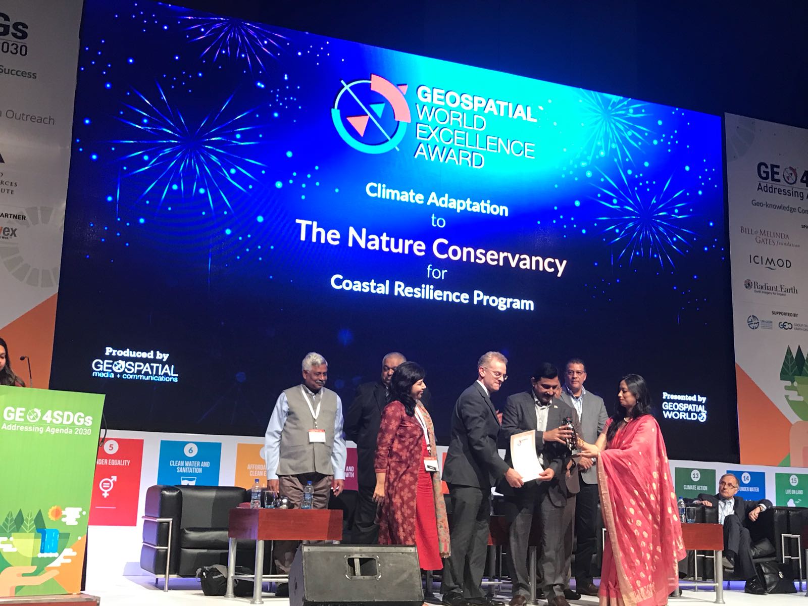
Coastal Resilience Honored for State-of-the-Art Mapping Technology
Coastal Resilience receives the the Geospatial World Excellence Award at the 2018 Geospatial World Forum in Hyderabad, India.
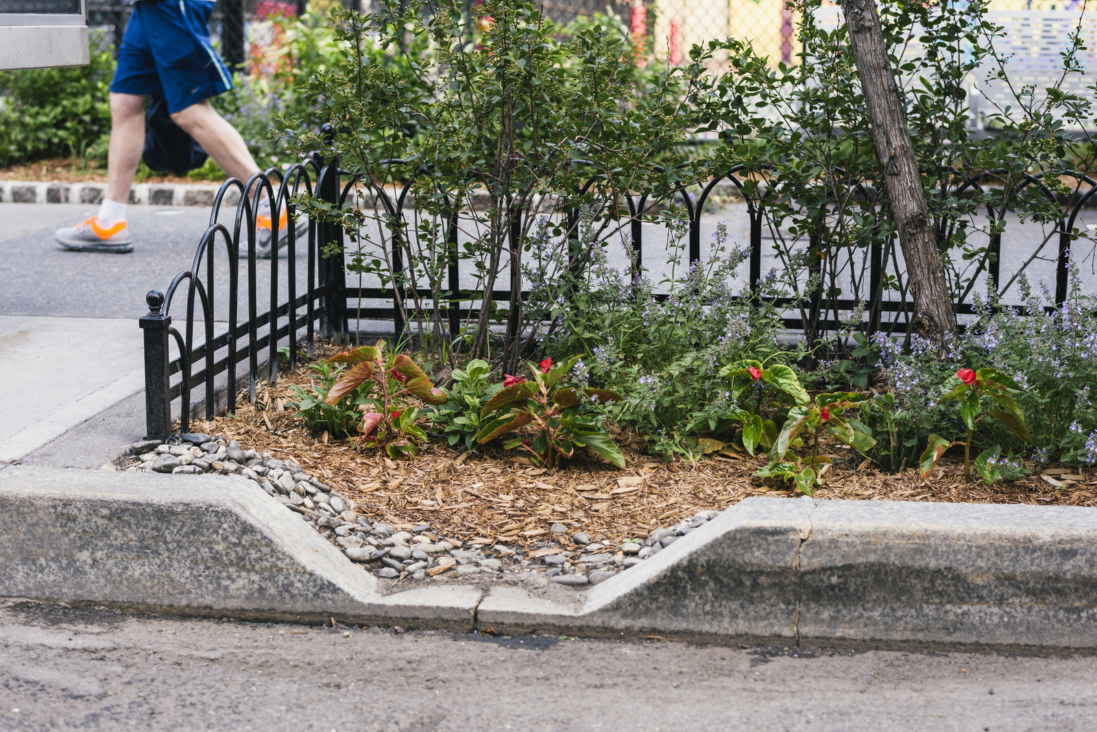
High-Tech Tools Help Ramp up Conservation and Green Insfrastructure
Microsoft’s AI model accelerates TNC’s conservation work by enabling communities to pinpoint the most effective green infrastructure options in minutes.
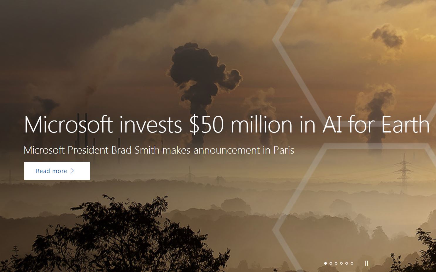
Microsoft Invests $50 Million in AI Climate Change Program
Microsoft announced that it will invest $50 million to provide cloud-computing services and other resources to organizations working on climate change and environmental technology.
Elevating Coastal Resilience Technology with Microsoft
TNC, Microsoft and Esri have formed a collaboration around geospatial technology and natural solutions for conservation and climate adaptation planning.
The Nature Conservancy and Microsoft bring tech innovations to environmental efforts
The Nature Conservancy is teaming up with Microsoft to bring machine learning and other tech innovations TNC’s online mapping tools to build more powerful software for processing large data volumes and quickly generating results.
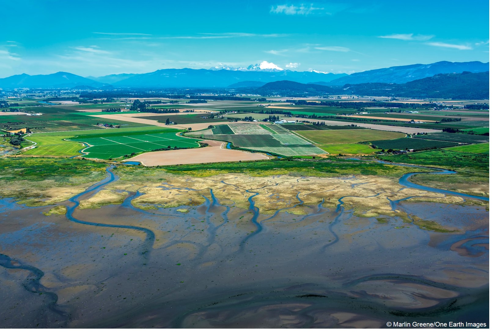
Our Projects in Puget Sound, Globally, Accelerated by Microsoft Tech
Cleaner water and safer communities in Puget Sound and around the world are getting a huge boost thanks to a new grant and technology partnership from Microsoft to The Nature Conservancy.
Microsoft Expands Support for The Nature Conservancy for Earth Day
Today, we are pleased to announce a new grant to The Nature Conservancy that will enable this highly-regarded organization to do even more to conserve the lands and waters on which all life depends.