Coastline Change: Future Scenarios
What is the Coastline Change: Future Scenarios app?
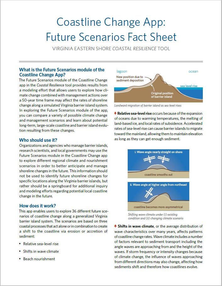
![]() The Future Scenarios module of the Coastline Change app provides results from a modeling effort that allows users to explore how climate change combined with management actions over a 50-year time frame may affect the rates of shoreline change along a simulated Virginia barrier island system. In exploring the Future Scenarios module of the app, you can compare a variety of possible climate change and management scenarios and learn about potential long-term, large-scale coastline and barrier island evolution resulting from these changes.
The Future Scenarios module of the Coastline Change app provides results from a modeling effort that allows users to explore how climate change combined with management actions over a 50-year time frame may affect the rates of shoreline change along a simulated Virginia barrier island system. In exploring the Future Scenarios module of the app, you can compare a variety of possible climate change and management scenarios and learn about potential long-term, large-scale coastline and barrier island evolution resulting from these changes.

Main functions:
- Compare a variety of possible climate change and management scenarios over a 50-year time frame and learn about potential long-term, large-scale coastline and barrier island evolution.
Who should use it?
Organizations and agencies who manage barrier islands, research scientists, and local governments may use the Future Scenarios module in the Coastline Change app to explore different regional climate and nourishment scenarios in order to better anticipate and manage shoreline changes in the future. This information should not be used to identify future shoreline changes for specific locations along the Virginia barrier islands, but rather should be a springboard for additional inquiry and modeling efforts regarding potential local coastline change in the future.
How does it work?
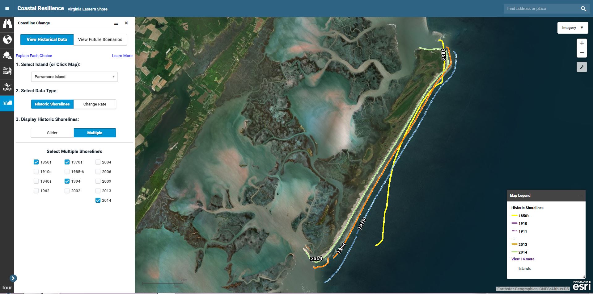
The app enables users to explore 36 different future scenarios of coastline change along a generalized Virginia barrier island system. The scenarios are based on three coastal processes that act alone or in combination to create a shift to the coastline via erosion or accretion of sediment:

 Relative sea-level rise: Occurs because of the the expansion of oceans due to warming temperatures, melting of land-based ice, and local rates of subsidence. Accelerated rates of sea-level rise can cause barrier islands to migrate toward the mainland, allowing them to maintain elevation as long as they can get enough sediment.

Shifts in wave climate (or the average distribution of wave characteristics over many years): This includes a number of factors relevant to sediment transport including the angle waves are approaching from and the height of the waves. If storm frequency of intensity changes because of climate change, the influence of waves approaching from different directions may also change, affecting how sediments shift and therefore how coastlines evolve.
 Beach nourishment: This is a management strategy implemented to prevent erosion and beach loss in an effort to stabilize or protect shorelines. Beach nourishment was modeled only for those areas where it has been undertaken in the past (Wallops) or may be considered in the future (Assateague) based on stakeholder input, but the selected nourishment scenarios should in no way indicate an endorsement of any management option, either in those areas or elsewhere in the region.
In this app, you’ll be able to explore the modeled effect— alone or combined—of three relative sea-level rise projections, three potential wave climate scenarios, and four beach nourishment scenarios, on the rate of coastline change. The results will show you, along a generalized coastline, whether these scenarios will lead to more erosion and less accretion or less erosion and more accretion along the modeled future shoreline than would be expected to occur in the future under current conditions.
What are the strengths and limitations?
Because of the uncertainty in the environmental variables affecting coastline change, coastal geomorphologists cannot make detailed predictions of where barrier islands will be or what shape they will have in the future.
However, numerical modeling allows scientists to take an important step toward determining how certain physical processes may affect the future evolution of barrier islands and the coastline. Modeled future scenarios in the app of a simulated Virginia barrier island coastline are a leap forward in the field of coastal science.
However, at this early stage, the results are not yet intended to support decisions but to serve as a springboard for new and additional research and modeling efforts. Lessons learned from this breakthrough model will provide opportunities for next steps in modeling possible coastline and island evolution and advancing the science of coastal geomorphology.
Who helped develop it?
The Coastline Change: Future Scenarios app was developed through a partnership between a team of coastal geologists and geomorphologists from University of North Carolina at Chapel Hill, University of North Carolina Wilmington, Duke University, and Randolph-Macon College (team that performed the modeling work) and staff from The Nature Conservancy, NASA-Wallops Flight Facility, the U.S. Fish and Wildlife Service Chincoteague National Wildlife Refuge and the Accomack-Northampton Planning District Commission.